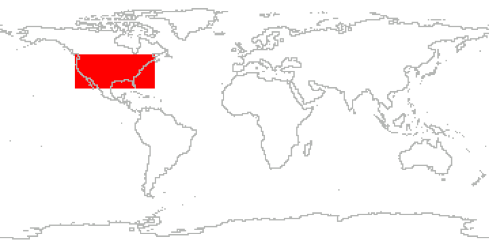
The GOES-R Post Launch Test (GOES-R PLT) field campaign was a collaborative mission to validate the Advanced Baseline Imager (ABI) and Geostationary Lightning Mapper (GLM) instruments aboard the GOES-R, now GOES-16, satellite. GOES-R is part of NOAA’s geostationary satellite fleet, Geostationary Operational Environmental Satellites - R series, and provides continual observations of primarily North and South America and the Atlantic.
The GOES-R PLT field campaign lasted roughly 9 weeks from March 21, 2017 to May 17, 2017, with 105.1 mission flight hours. The goal of the campaign was to provide a collection of coincident airborne, satellite, ground based, and near surface measurements of surface weather phenomena to test, validate, and improve the accuracy of GOES-R ABI and GLM measurements.
The campaign was comprised of two phases: the first centered on the U.S. west coast, providing tests primarily for the ABI instrument, and the second focused on the central and eastern U.S. with tests primarily for the GLM instrument. Airborne measurements were taken using NASA’s ER-2 aircraft, equipped with spectrometer, radar, lidar, radiometer, and other atmospheric observation instruments to assist with ABI and GLM validation. The target phenomena for validation observations included land and ocean surfaces, active wildfires, and thunderstorms. This campaign provided a blueprint for the operation of future GOES validation projects.
Cite the Collection
To cite the entire collection, please use the following:
Padula, F., S. J. Goodman, A. Pearlman and C. Cao. 2017. GOES-R PLT Field Campaign Data Collection [indicate subset used]. Data available online [http://earthdata.nasa.gov/centers/ghrc-daac] from the NASA EOSDIS Global Hydrometeorology Resource Center Distributed Active Archive Center, Huntsville, Alabama, U.S.A. doi: http://dx.doi.org/10.5067/GOESRPLT/DATA101
For more information on citing data archived by NASA's Global Hydrometeorology Resource Center Distributed Active Archive Center (GHRC DAAC), see NASA's data use policy.
General Characteristics
| Projects | GOES-R PLT | |
|---|---|---|
| Platforms | NASA ER-2, Ground Stations, GOES-R, SURFRAD | |
| Sensors/Instruments | CRS, LIP, CPL, LMA, S-HIS, AVIRIS, FEGS, GCAS, GLM, barometers, humidity sensors, pyranometers, pyrgeometers, pyrheliometers, spectrometers/radiometers, and temperature probes | |
| Parameters | Ocean Optics, Radar, Atmospheric Electricity, Aerosols, Clouds, Lidar, Atmospheric Radiation, Platform Characteristics, Atmospheric Radiation, Infrared Wavelengths, Visible Wavelengths, Weather/Climate Advisories | |
| Processing level | 1A, 1B, 2 | |
| Formats | ASCII, MS Excel, netCDF-3, PNG, Binary, HDF-5 | |
