| Study Dates | 2019 to 2025 |
|---|---|
| Season of Study | Boreal fall, boreal spring |
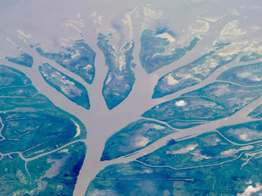
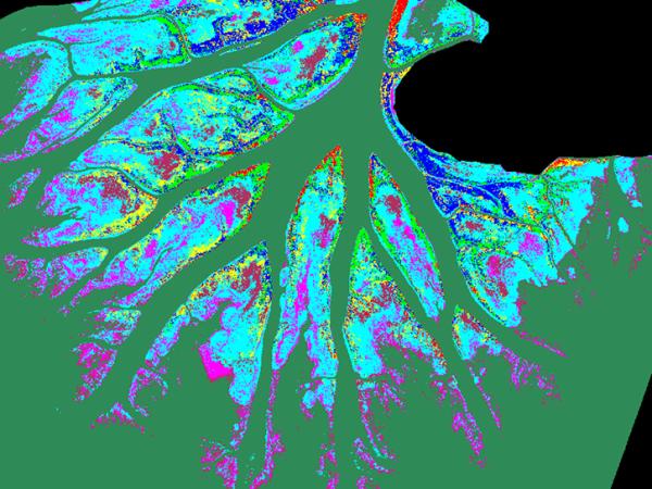
| Region | Atchafalaya and Terrebonne basins of the Mississippi River Delta |
| Focus Areas | Biosphere Geosphere Hydrosphere |
| Scientific Topics | Wetlands Biomass Vegetation structure Deltas Rivers/Streams Sediment Soil Accretion |
Delta-X
The Delta Exchange (Delta-X) mission was a multi-year NASA Earth Venture Suborbital-3 campaign to study the Mississippi River Delta, which is subsiding and shrinking in some areas and growing in others.
River deltas and their wetlands in many regions of the world are drowning as a result of sea level rise and reduced sediment inputs. The Delta-X mission studied which parts are likely to survive and grow, and which parts could be lost.
The mission began with airborne and in situ data acquisition, and then carried through data analysis, model integration, and validation to predict the extent and spatial patterns of future deltaic land loss or gain.
Delta-X conducted two field campaigns in 2021 to capture different flood stages during high Mississippi River discharge (spring) and low river discharge (fall) to document the change in inundation extent, flow velocity, sediment transport rates, and vegetation status. A validation field campaign was conducted in 2023. There were also pre-Delta-X campaigns conducted in 2015 and 2016 to collect demonstration measurements.
Principal Investigator
Data Centers
Funding Programs
| Platform | Instrument(s) |
|---|---|
| Gulfstream III | Uninhabited Aerial Vehicle Synthetic Aperture Radar (UAVSAR) |
| Beechcraft B-200 King Air | Airborne Visible InfraRed Imaging Spectrometer - Next Generation (AVIRIS-NG) Air Surface Water and Ocean Topography (AirSWOT) |
| Campaign Ships | Single-beam echo sounder (SBES) Spectrometers Turbidity sensors LISST-100X (LISST) Acoustic Doppler Current Profiler (ADCP) |
| Campaign Field Sites | Turbidity sensors |
The following resources provide additional information about the Delta-X campaign.