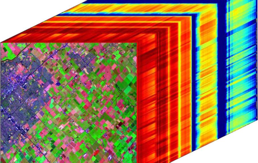
AVIRIS hyperspectral image cube
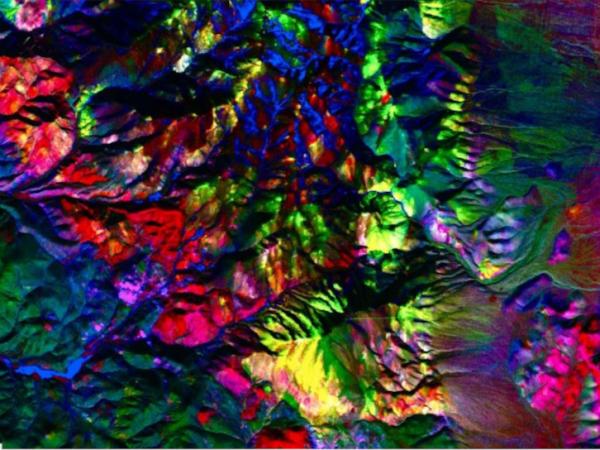
Minimum Noise Fraction (MNF) classification generated in Marigold using AVIRIS Classic data
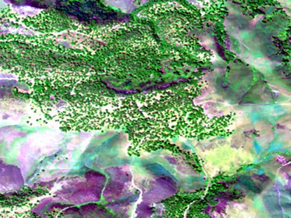
Map Oaks Using AVIRIS Hyperspectral Imagery

AVIRIS Facility Instruments

Airborne Visible/InfraRed Imaging Spectrometer Facility Instruments

The Airborne Visible/InfraRed Imaging Spectrometer (AVIRIS) Facility Instruments project comprises four airborne Facility Instruments: AVIRIS Classic (AVIRIS-C), AVIRIS-Next Generation (AVIRIS-NG), AVIRIS-3rd Generation (AVIRIS-3), and AVIRIS-5th Generation (AVIRIS-5), which are part of NASA’s Airborne Science Program (ASP) and the Jet Propulsion Laboratory’s (JPL) Earth Science Airborne Program.

Hyperspectral imaging data from the AVIRIS Facility Instruments are applicable to a wide range of studies in the fields of terrestrial and coastal aquatic plant physiology, atmospheric and aerosol studies, environmental science, snow hydrology, geology, volcanology, oceanography, soil and land management, agriculture, and limnology.

This project page provides the standard data products from the AVIRIS Facility Instruments.

Principal Investigator

Robert O. Green

Data Centers

ORNL DAAC

Funding Programs

NASA's Airborne Science Program
Jet Propulsion Laboratory's Earth Science Airborne Program
Image
Image Caption

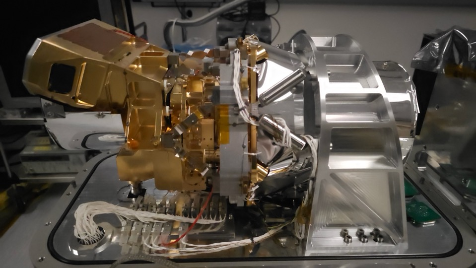
Photo of the AVIRIS-5 Instrument

Study Dates

AVIRIS-C: 1987 – present

AVIRIS-NG: 2012 – present

AVIRIS-3: 2023 – present

AVIRIS-5: 2025 – present

Season of StudyYear round
RegionNorth America, including Alaska and Hawaii; Europe; South Africa; Brazil; Argentina
Focus Areas

Biosphere

Atmosphere

Cryosphere

Geosphere

Hydrosphere

Scientific Topics

Aerosols 

Agriculture

Environmental Science

Geology

Land Management

Limnology

Oceanography

Snow Hydrology

Soil

Terrestrial and Coastal Aquatic Plant Physiology

Volcanology