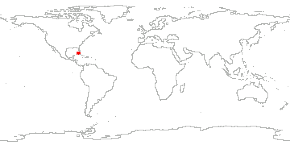
The ALTUS Cumulus Electrification Study (ACES) was based at the Naval Air Facility Key West in Florida. During August 2002, ACES researchers conducted overflights of thunderstorms over the southwestern corner of Florida. For the first time in NASA research, an uninhabited aerial vehicle (UAV) named ALTUS was used to collect cloud electrification data. Carrying field mills, optical sensors, electric field sensors and other instruments, ALTUS allowed scientists to collect cloud electrification data for the first time from above the storm, from its birth through dissipation. This experiment allowed scientists to achieve the dual goals of gathering weather data safely and testing new aircraft technology.
Cite the Collection
To cite the entire collection, please use the following:
R. Blakeslee et al. 2002. ACES Field Campaign Data Collection [indicate subset used]. Data available online [http://earthdata.nasa.gov/centers/ghrc-daac] from the NASA EOSDIS Global Hydrometeorology Resource Center Distributed Active Archive Center, Huntsville, Alabama, U.S.A. doi: http://dx.doi.org/10.5067/ACES/DATA101
For more information on citing data archived by NASA's Global Hydrometeorology Resource Center Distributed Active Archive Center (GHRC DAAC), see NASA's data use policy.
General Characteristics
| Projects | ALTUS Cumulus Electrification Study (ACES) |
|---|---|
| Platforms | ALTUS |
| Sensors/Instruments | Clocks, Accelerometers, DOPS, Electric Field Mill, Gerdien Conductivity Probe, RF Antenna, SCM, GPS, INS, ALTUS Data Collection System, Fluxgate Magnetometers |
| Parameters | Platform Characteristics, Atmospheric Electricity, Atmospheric Winds, Geomagnetism, Radio Wave, Weather Events |
| Processing level | 1B |
| Formats | Binary, MATLAB1, ASCII |
