Description
Wetlands are ecologically dynamic land areas that support more biological diversity than any other type of ecosystem on the planet. In addition to supporting an astonishing variety of plants and animals, wetlands filter and purify water, control flooding, and stabilize shorelines. However, as sources of fish, fuel, land, and water, wetlands are threatened around the globe as the demand for these resources grows. Remote sensing provides a means of identifying and observing changes occurring in these critical ecosystems.
Synthetic Aperture Radar (SAR) uses microwave energy to detect physical properties of the Earth’s surface. Unlike optical technology, SAR can image through darkness, clouds, and rain. The characteristics of SAR make it a particularly effective tool for measuring water inundation, seasonal variations in water levels or habitat, large-scale vegetation patterns, and the effects of natural or human disturbance on wetland areas.
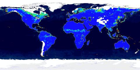
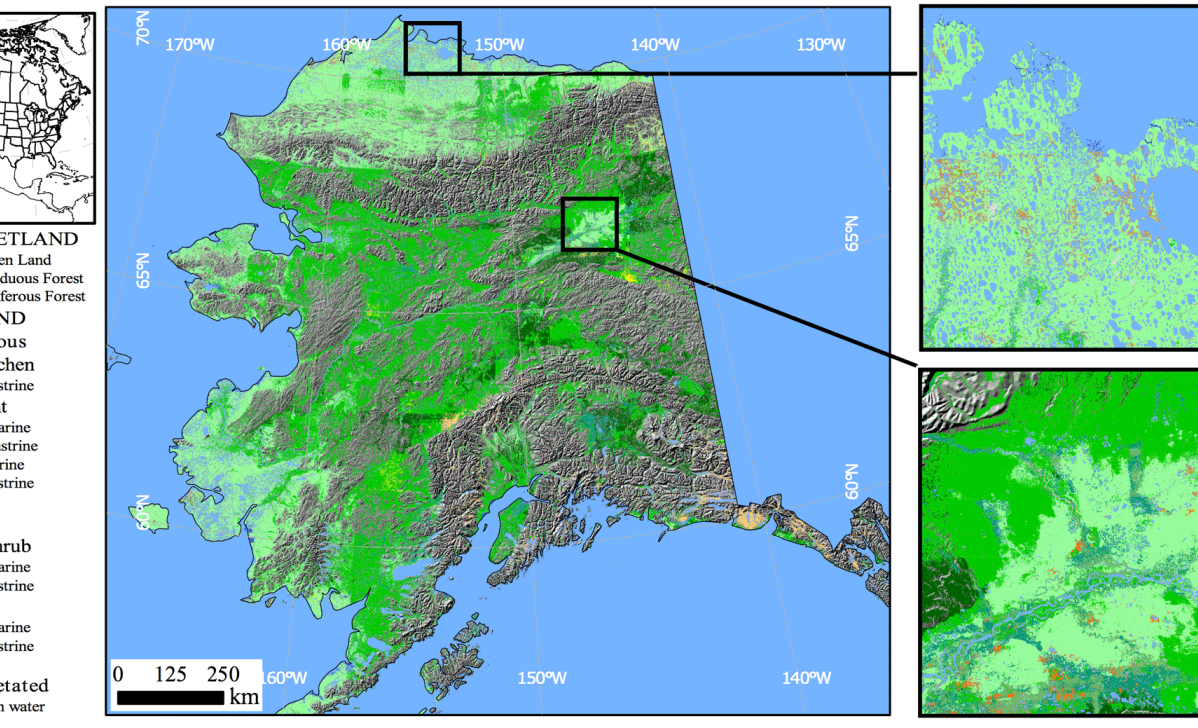
The Alaska Satellite Facility (ASF) DAAC acquired the MEaSUREs (Making Earth System Data Records for Use in Research Environments) Wetlands dataset from the Jet Propulsion Laboratory in 2012. The dataset contains the first level-2, derived synthetic aperture radar (SAR) products available from ASF. The dataset includes a global-scale Earth System Data Record (ESDR) of inundated wetlands to facilitate investigations on their role in climate, biogeochemistry, hydrology, and biodiversity. This ESDR provides an accurate, consistent, and comprehensive global-scale dataset of wetland inundation and vegetation, including continental-scale, multi-temporal, and multi-year monthly inundation dynamics at varying scales.
MEaSUREs Wetlands is a NASA/Jet Propulsion Laboratory Earth observation project.
For a project overview and detailed descriptions of satellite/sensor parameters, data product characteristics, and using MEaSUREs Wetlands products:
Click here to download the MEaSUREs Wetlands Product Specification Guide (PDF)
Wetlands Project Personnel
Principal Investigator:
Kyle C. McDonald, Ph.D.
Terry Elkes Professor, Department of Earth and Atmospheric Sciences
CUNY Environmental Crossroads Initiative and CREST Institute
The City College of New York, City University of New York
MR 925, 160 Convent Ave. & W. 138th St., New York, NY 10031 USA
Phone: 212-650-8218; Mobile: 818-434-8937; FAX: 212-650-7064
AND
Jet Propulsion Laboratory, California Institute of Technology
4800 Oak Grove Drive; Pasadena, California 91109-8099 U.S.A.
Project Members
- Bruce Chapman (JPL)
- Laura Hess (University of California, Santa Barbara)
- Mahta Moghaddam (University of Michigan)
- John Kimball (University of Montana)
Collaborators
- Dr. Martti Hallikainen (Helsinki University of Technology)
- Ake Rosenqvist (JRC — Italy)
- Masanobu Shimada (EORC-JAXA — Japan)
- Max Finlayson (International Water Management Institute)
- Nick Davidson (Ramsar)
- Wenjun Chen (CCRS)
- Albert Jimenez (Columbia University)
- Adane Metaferia (California State University, Chico)
Product Summary

Citation
Citation is critically important for dataset documentation and discovery. This dataset is openly shared, without restriction, in accordance with the EOSDIS Data Use Policy.

