Principal Investigator: Adrian Borsa: University of California San Diego Co-Investigators: Chaitanya Baru, Helena Fricker, Viswanath Nandigam, and Christopher Crosby: University of California, San Diego; Siri Jodha Khalsa: University of Colorado
NASA's Ice, Cloud, and land Elevation Satellite (ICESat) used laser altimetry to measure ice sheet mass balance, cloud and aerosol heights, topography, and vegetation from 2003 to 2009. ICESat-2, launched in November 2018, will use six laser beams to provide much denser measurements of the Earth’s surface. Data from these satellites can be used to study polar ice changes, biomass and carbon storage in vegetation, and forest characteristics, such as tree density.
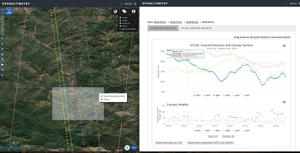
OpenAltimetry is a cloud-ready, web-based application for discovery, access, and visualization of ICESat and ICESat-2 data. OpenAltimetry was developed by Adrian Borsa’s team at the University of California, San Diego, in cooperation with the San Diego Supercomputer Center and NASA's National Snow and Ice Data Center Distributed Active Archive Center (NSIDC DAAC).
