Delivery of Suomi National Polar-orbiting Partnership (Suomi NPP) satellite data products will cease on November 1, 2026. Data users should transition now to alternative products from NOAA-21 and NOAA-20.
Suomi NPP data announcement
Harmful Algal Bloom (HAB) News
Articles, resources, and announcements from Harmful Algal Bloom (HAB).
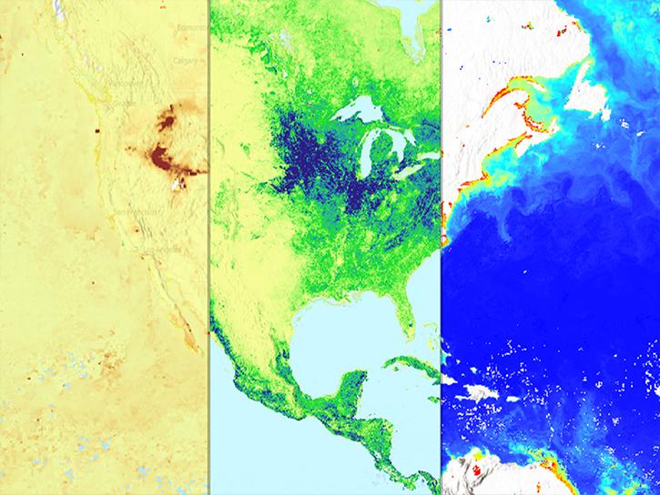
11 PACE data products are now available through NASA's Earthdata Geographic Information Systems imagery services and discoverable via Esri's ArcGIS Living Atlas of the World.
News
Feb. 9, 2026
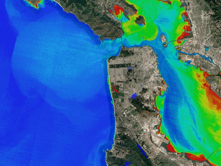
An upcoming training offered by NASA's ARSET program introduces a web-based platform for monitoring lake and coastal water conditions using satellite data.
News
Dec. 19, 2025
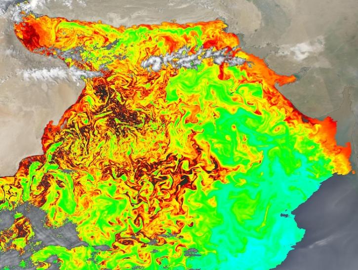
Image captured on Feb 15, 2025, by the OCI instrument aboard the PACE platform.
Worldview Image of the Week
Feb. 20, 2025
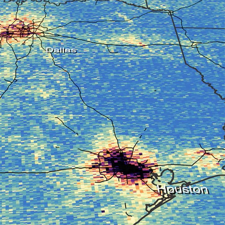
Assessment of the 2022 Satellite Needs Working Group (SNWG) survey identified six science activities to address U.S. Federal civilian agency satellite needs.
News
July 18, 2024
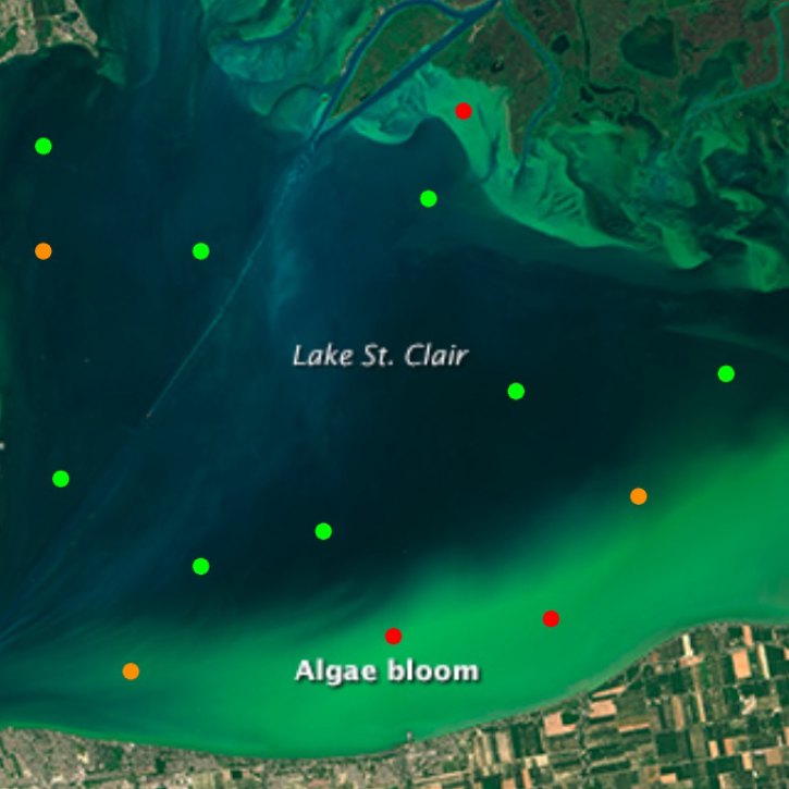
The open-source Cyanobacteria Finder (CyFi) uses machine learning to pinpoint areas that may contain harmful algal blooms in lakes, reservoirs, rivers, and other small water bodies.
Blog
Feb. 13, 2024

CASEI improves information and data access for users of NASA airborne and field data.
Feature Article
July 9, 2021
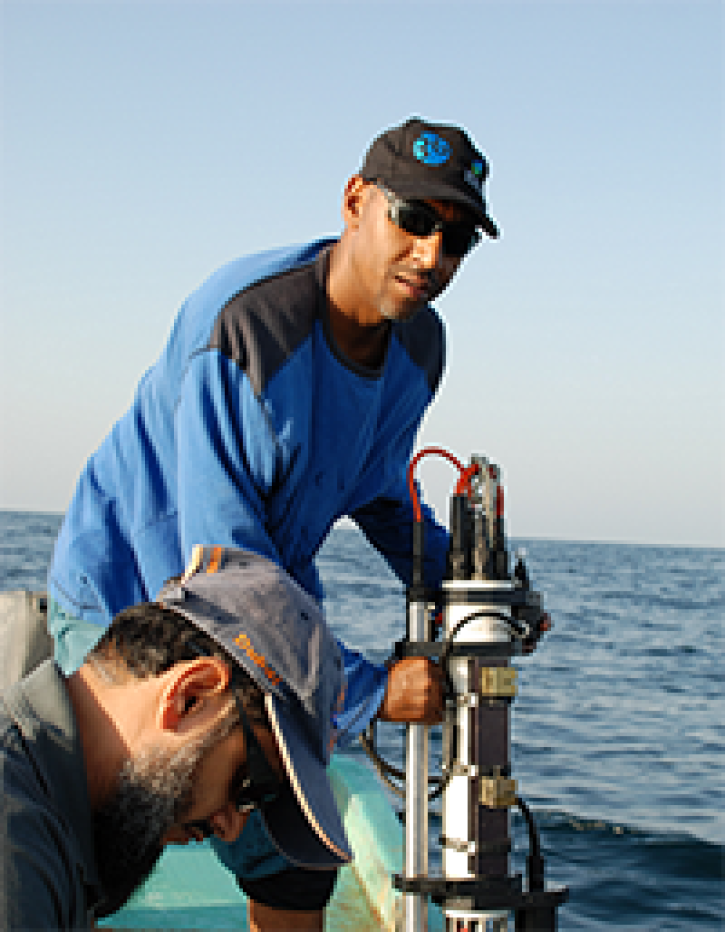
Who uses NASA Earth science data? Adnan Al-Azri, to study why periodic harmful blooms of algae occur in the Sea of Oman and Arabian Sea.
Data User Story
April 22, 2021

Who uses NASA Earth science data? Mark Trice, to monitor the health of Chesapeake Bay.
Data User Story
April 22, 2021
SHOWING 8 OF 15