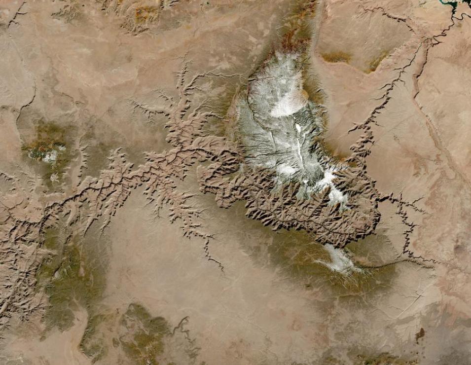
Beginning May 19, 2023, the codebase of the Harmonized Landsat Sentinel-2 (HLS) project will be openly available through the NASA Interagency Implementation and Advanced Concepts Team (IMPACT) GitHub repository.
The HLS project generates global, harmonized, analysis-ready surface reflectance data products with observations every two to three days at 30-meter spatial resolution. These data products are particularly useful for monitoring short-term surface changes to vegetation and other land features. Input data are collected by the Operational Land Imager (OLI) and OLI-2 instruments aboard the joint NASA/USGS Landsat 8 and Landsat 9 satellites and the Multi-Spectral Instrument (MSI) aboard the ESA (European Space Agency) Sentinel-2A and Sentinel-2B satellites.
With the release of the codebase, HLS data product users will now have greater visibility into the project’s image processing pipeline. Users will be able to review how HLS data scientists implement cloud processing methodologies and will also be able to apply their own image processing strategies to create custom data products.
This code release is a major step forward in NASA's commitment to establishing access to scientific tools, data products, and methodologies throughout the scientific process. This achievement specifically fulfills a NASA Science Mission Directorate (SMD) policy, SPD-41a, requiring that all products created through SMD-funded projects be shared with the public. This policy further enhances the inclusivity, transparency, accessibility, and reproducibility of scientific research.
The HLS strategy to harmonize Landsat and Sentinel data to create more comprehensive imagery products was developed in response to needs identified through the Satellite Needs Working Group (SNWG) 2016 assessment cycle. In the assessment, multiple federal agencies and end users noted a need for more advanced land observation data products.
Explore HLS Data
- HLS data in Earthdata Search
- HLS imagery in NASA Worldview
- HLS Overview page at NASA’s Land Processes Distributed Active Archive Center (LP DAAC)
