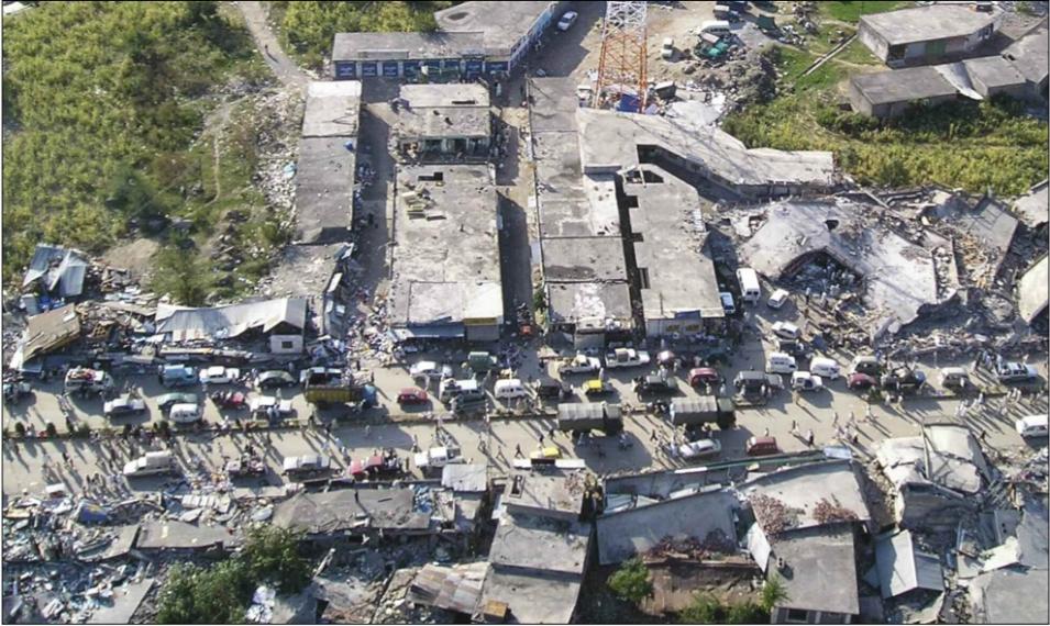
Wiley Thompson, a lieutenant colonel in the United States Army, assisted with the disaster relief efforts. Thompson said, “As a disaster response coordinator, my goal was to get relief—the right kind of relief—to the people who needed it the most at that moment.”
Having access to remote sensing and field studies can help relief workers zoom in on a crisis area. Thompson said, “You need to know where to go, so you don’t spend time going to places that weren’t the worst hit. I call it the flash-to-bang. From the first event to the first relief there, you want to minimize the time in between.” Researchers often try to deliver maps and data as soon after an earthquake as possible, but because many relief efforts evolve into long-term projects, new information can be helpful at any stage. New maps, for instance, may reveal damaged towns that were initially missed, but where relief is still badly needed. Thompson said, “Just because you don’t have definitive information right after an earthquake doesn’t mean it’s not going to do you some good later.”
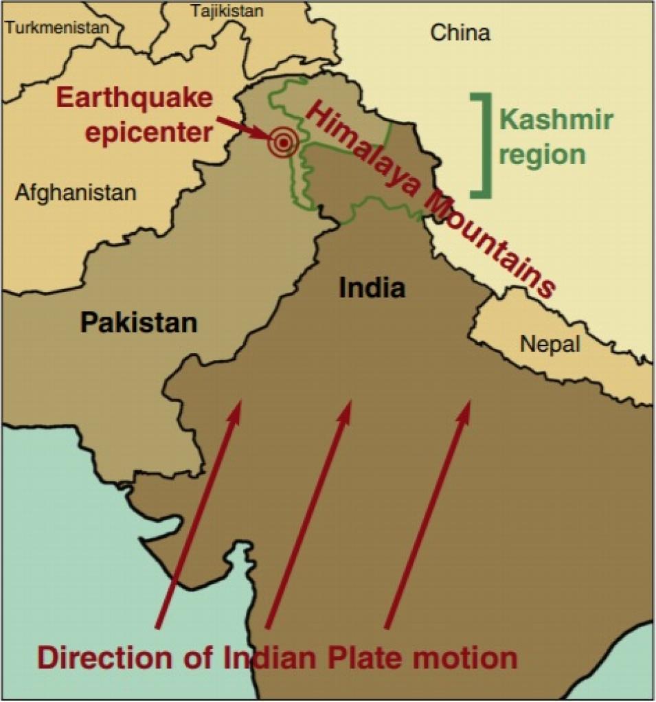
Recovering from the October 2005 Kashmir earthquake will likely take several more years, putting Kashmir once again at a crossroads, this time between the old and the new. Governments are razing old concrete block buildings and replacing them with modern structures designed to better withstand earthquakes. Relief organizations are helping relocate residents of towns destroyed by the earthquake to newly erected town sites. And scientists and researchers continue to focus on Kashmir and other earthquake-prone areas, mapping ancient geological faults and identifying new ways to examine an earthquake’s aftermath.
Avouac said, “By studying these ruptures, we can learn more about the characteristics of future earthquakes, like what kind of ground motion we can expect.” Understanding how past earthquakes happened and how much damage they caused can help scientists estimate future seismic hazards and pinpoint areas with a high earthquake risk. They hope that this knowledge will eventually protect people living in areas with earthquakes
References
Avouac, J. P., F. Ayoub, S. Leprince, O. Konca, and D. V. Helmberger. 2006. The 2005, Mw 7.6 Kashmir earthquake: Sub-pixel correlation of ASTER images and seismic waveform analysis. Earth and Planetary Science Letters 249: 514–528.
Parsons, T., R. S. Yeats, Y. Yagi, and A. Hussain. 2006. Static stress change from the 8 October, 2005 M = 7.6 Kashmir earthquake. Geophysical Research Letters 33, L06304, doi:10.1029/2005GL025429
For more information
NASA Land Processes Distributed Active Archive Center (LP DAAC)
Advanced Spaceborne Thermal Emission and Reflection Radiometer (ASTER)
Co-Registration of Optically Sensed Images and Correlation (COSI-Corr)
Jean-Philippe Avouac
Wiley C. Thompson
Robert S. Yeats
| About the remote sensing data |
| Satellite |
Terra |
| Sensor |
Advanced Spaceborne Thermal Emission and Reflection Radiometer (ASTER) |
| Data set |
ASTER L1A Reconstructed Unprocessed Instrument Data |
| Resolution |
15 meter (VNIR), 30 meter (SWIR), 90 meter (TIR) |
| Parameter |
Land Surface |
| DAAC |
NASA Land Processes Distributed Active Archive Center (LP DAAC) |


