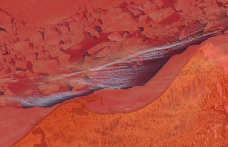
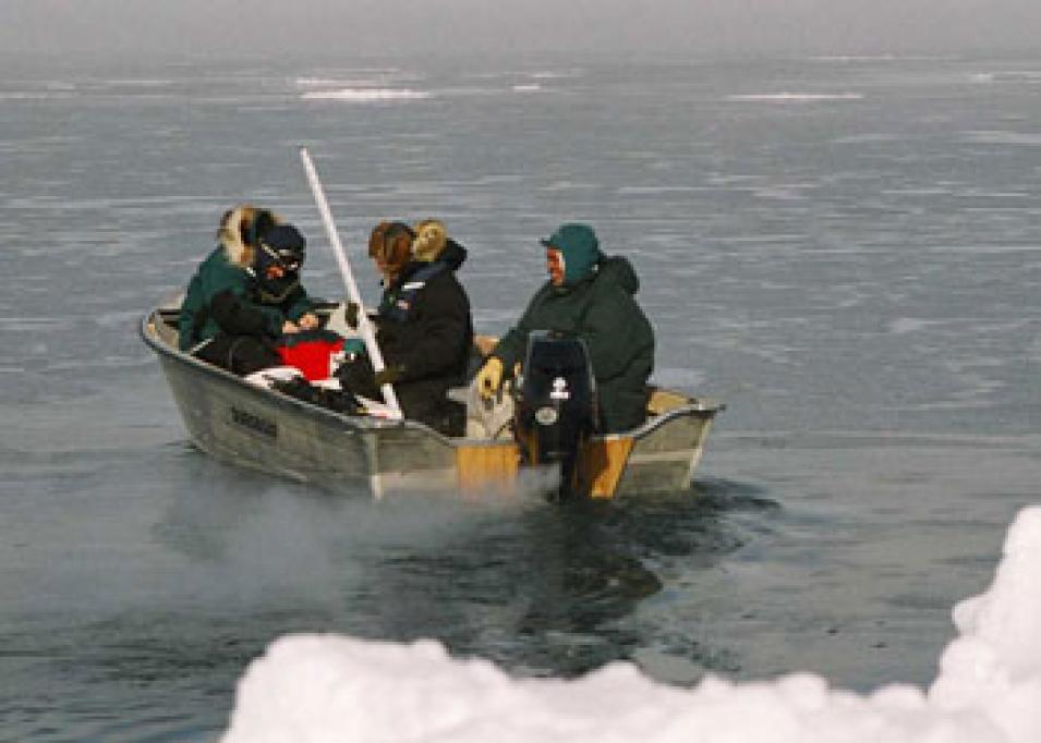
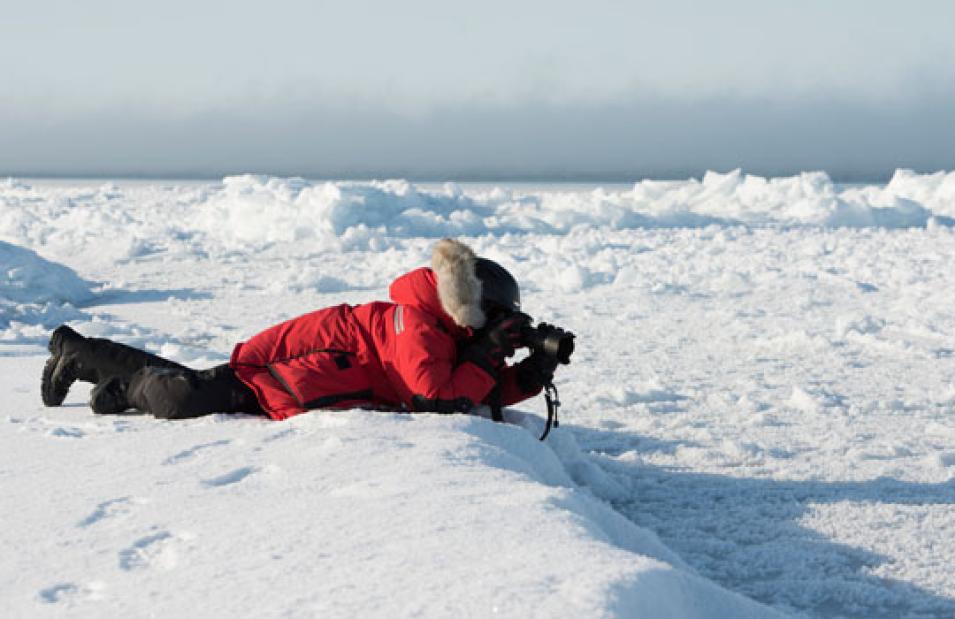
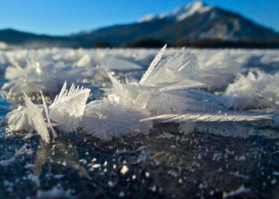
Samples also revealed that the snow cover is more acidic than other surfaces. And that acidity helps initiate the reaction by chemically unlocking the bromide in the salt, which is bromine in its non-reactive form, and releasing it to the atmosphere where it becomes reactive. “It’s an amazing, invisible process,” Sturm said. “If I told someone in a bar about this, they’d think I was crazy. You can’t see it without these instruments and satellites, but it’s there.”
Whatever role snow plays, however, remains to be solved in the next round of studies. But the team confirmed that mercury dropped on the surface does not go away; it accumulates. And since plankton and fish cannot digest it, it can get passed along the food chain to whales and of course people. Sturm said, “Mercury deposited in the Arctic could be coming from a power plant in Florida or from a volcano. But the Arctic can plate it out better than any other place.”
As long as there are intermittent cold spells, and some sea ice, it appears the Arctic atmosphere will continue cleaning itself of mercury and other pollutants. According to Nghiem, although the average temperature of the Arctic is indeed rising, unseasonal cold spells have become more common over the last decade, and they are sufficient for beginning the bromine chain reaction. Yet he remains optimistic that their research can help convince governments to limit mercury pollution where possible. Nghiem said, “With the scientific foundation to show this is happening, I hope it will be the basis for making the right decisions, and even help to expedite the right decisions.”
References
Brodzik, M. J. and R. L. Armstrong. 2008, updated daily. Near-Real-Time DMSP SSM/I-SSMIS Pathfinder Daily EASE-Grid Brightness Temperatures. Boulder, Colorado USA: NASA DAAC at the National Snow and Ice Data Center (NSIDC).
Cavalieri, D., T. Markus, and J. Comiso. 2004, updated daily. AMSR-E/Aqua Daily L3 12.5 km Brightness Temperature, Sea Ice Concentration, & Snow Depth Polar Grids V002. Boulder, Colorado USA: NASA National Snow and Ice Data Center (NSIDC) DAAC.
Goddard Earth Sciences Data and Information Services Center (GES DISC). 2012. Aura OMI Level 3 Data Products. Greenbelt, Maryland USA.
NASA/Land, Atmosphere Near real-time Capability EOS (LANCE). 2012. MODIS Level 3 Sea Ice Extent, and Ice Surface Temperature. Greenbelt, Maryland USA.
NASA MODIS Level 1 and Atmosphere Archive and Distribution System (LAADS) DAAC. 2012. MODIS Level 2 Aerosol. Greenbelt, Maryland USA.
NASA Physical Oceanography DAAC (PO.DAAC). 2012. QuikSCAT Ku-band Backscatter. Pasadena, California USA.
Nghiem, S. V., P. B. Shepson, W. Simpson, D. K. Perovich, M. Sturm, et al. 2013. Arctic sea ice reduction and tropospheric chemical processes. Paper presented at the fourth International Conference on Bioenvironment, Biodiversity, and Renewable Energies, Lisbon.
Nghiem, S. V. , I. G. Rigor, A. Richter, J. P. Burrows, P. B. Shepson, et al. 2012. Field and satellite observations of the formation and distribution of Arctic atmospheric bromine above a rejuvenated sea ice cover. Journal of Geophysical Research 117: D00S05, doi:10.1029/2011JD016268.
Simpson, W. R., D. Carlson, G. Hoenninger, T. A. Douglas, M. Sturm, D. K. Perovich, and U. Platt. 2007. The dependence of Arctic tropospheric halogen chemistry on sea ice conditions. Atmospheric Chemistry and Physics 7: 621–627.
For more information
NASA Goddard Earth Sciences Data and Information Services Center (GES DISC)
NASA Land, Atmosphere Near real-time Capability for EOS (LANCE)
NASA Level 1 and Atmosphere Archive and Distribution System Distributed Active Archive Center (LAADS DAAC)
NASA National Snow and Ice Data Center DAAC (NSIDC DAAC)
NASA Physical Oceanography DAAC (PO.DAAC)
Implications of Arctic Sea Ice Reduction on Tropospheric Chemistry
| About the remote sensing data used |
| Satellites |
Terra |
Terra, Aqua |
Aura |
| Sensors |
Moderate Resolution Imaging Spectroradiometer (MODIS) |
MODIS |
Ozone Monitoring Instrument (OMI) |
| Data sets |
MODIS Level 2 Aerosol |
MODIS Level-3 Sea Ice Extent, and Ice Surface Temperature |
OMI Level 3
Backscatter |
| Resolution |
10 kilometer |
4 kilometer |
725 kilometer |
| Parameters |
Aerosol optical depth |
Sea ice extent, sea ice surface temperature |
Bromine, aerosol optical depth |
| DAACs |
NASA Level 1 and Atmosphere Archive and Distribution System Distributed Active Archive Center (LAADS DAAC) |
NASA Land, Atmosphere Near real-time Capability for EOS (LANCE) |
NASA Goddard Earth Sciences Data and Information Services Center (GES DISC) |
The photograph in the title graphic was taken from aboard U.S. Coast Guard Cutter Healy (WAGB-20) and shows Arctic sea ice against the horizon (Courtesy NASA/ K. Hansen)


