ERS-1 and ERS-2, Free and Open
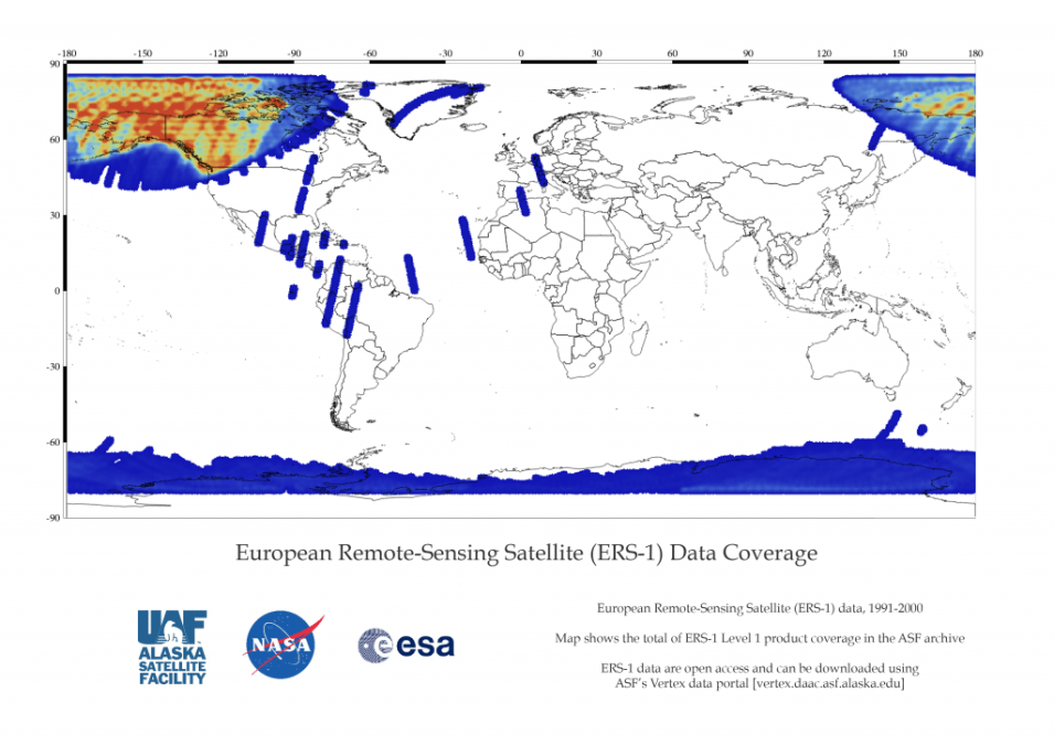
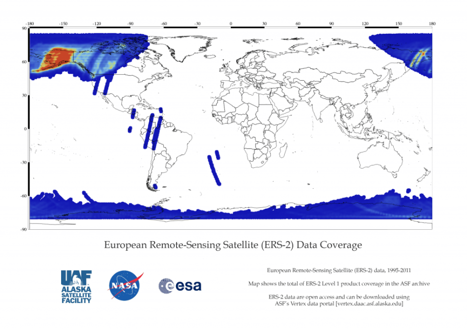
NASA’s provision of the European Space Agency’s (ESA) European Remote Sensing satellites (ERS-1 and ERS–2) synthetic aperture radar (SAR) data archive is now free and open by agreement between NASA and ESA. NASA's Alaska Satellite Facility Distributed Active Archive Center (ASF DAAC) holds a subset of all ERS data.
As part of the Earth observation Heritage Data Program (LTDP+), the ERS-1 and -2 missions provide scientists with historically accurate and easily accessible information to help further understand the dynamics of our planet. The ERS-1 and -2 archive contains data collected primarily within the ASF and the McMurdo, Antarctica, station mask. ERS-1 was active from August 1991 through March 2000. ERS-2 was active from April 1995 through September 2011.
Learn more about ERS-1 and ERS-2 at NASA and about ERS at ESA.
For access, users need to log in and agree to terms of the updated ASF DAAC data use agreement.

