We are in the process of migrating all NASA Earth science data sites into Earthdata from now until end of 2026. Not all NASA Earth science data and resources will appear here until then. Thank you for your patience as we make this transition.
Read about the Web Unification Project
As part of the Web Unification Project, GES DISC content will be migrated in 2026.
Please visit GES DISC for more information.
GES DISC
Goddard Earth Sciences Data and Information Services Center
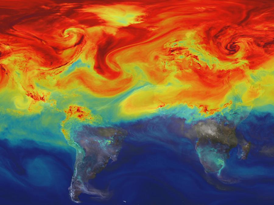
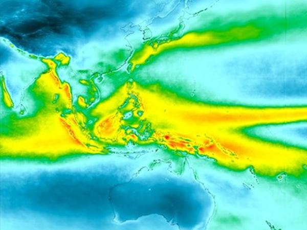
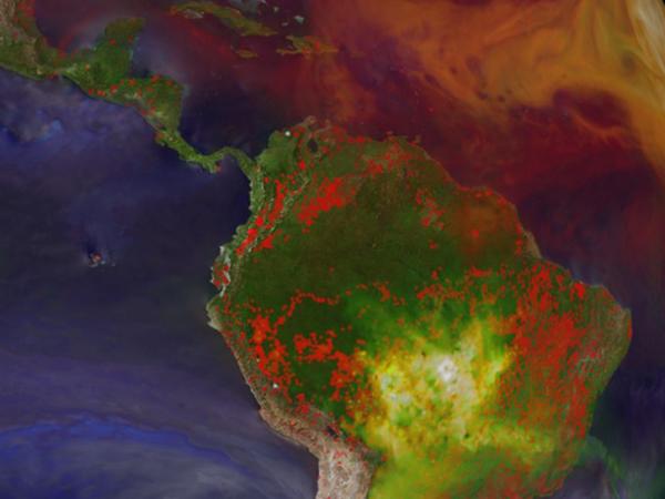
NASA's Goddard Earth Sciences Data and Information Services Center (GES DISC), one of NASA's Distributed Active Archive Centers (DAACs), is located at NASA's Goddard Space Flight Center in Greenbelt, MD. GES DISC provides access to a wide range of global climate data, concentrated primarily in the areas of atmospheric composition, atmospheric dynamics, global precipitation, climate variablility and solar irradiance.
GES DISC supports data from many missions including Aqua, Aura, IMERG, MERRA-2, GPM, Solar Radiation and Climate Experiment (SORCE), Tropical Rainfall Measuring Mission (TRMM), Upper Atmosphere Research Satellite (UARS), and Earth Probe/Total Ozone Mapping Spectrometers (TOMS). GES DISC also provides data subsetting, exploration, visualization, and access services.
GES DISC Data and Services
Visit the GES DISC website to learn more about data and services. GES DISC content will move into Earthdata in 2026.
GES DISC global climate datasets can be accessed through the GES DISC website, which provides several search and order methods. These include the Open-source Project for a Network Data Access Protocol (OPeNDAP) as well as Earthdata Search.
Location
Greenbelt, MD
Manager
Mahabal Hegde
View All People
Founded
1991
CoreTrustSeal Certified Repository
We are proud to be a CoreTrustSeal Certified Repository. CoreTrustSeal is an international, community based, non-governmental, and non-profit organization promoting sustainable and trustworthy data infrastructures.