We are in the process of migrating all NASA Earth science data sites into Earthdata from now until end of 2026. Not all NASA Earth science data and resources will appear here until then. Thank you for your patience as we make this transition.
Read about the Web Unification Project
Featured Projects
NASA's Applied Remote Sensing Training (ARSET) program teaches people to use Earth-observing data in their environmental management and decision-making.
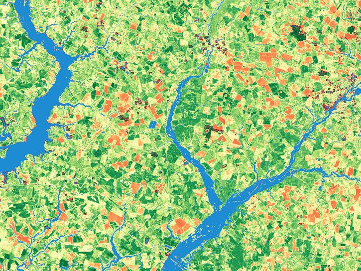
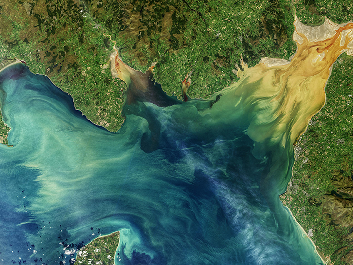
The Harmonized Landsat and Sentinel-2 (HLS) project generates global land surface reflectance data every 2 to 3 days at 30 meter resolution.
Explore All Projects
Filters

IMPACT's ARC team works to improve the discoverability and accessibility of NASA’s Earth science data.
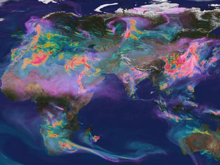
The Air Quality Data for Health-Related Applications (AQDH) collection of air quality data can be used for health-related research and applications.
NASA's Applied Remote Sensing Training (ARSET) program teaches people to use Earth-observing data in their environmental management and decision-making.
The ASCENDS airborne campaign was a multi-year effort to study global atmospheric column carbon dioxide (CO2) measurements without a seasonal, latitudinal, or diurnal bias.
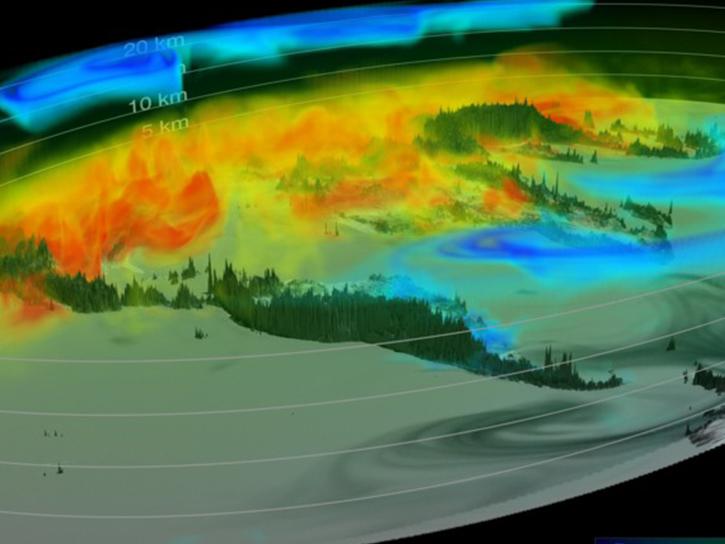
ATom studied the impacts of human-produced air pollution on greenhouse gases and on chemically reactive gases in the atmosphere from Summer 2016 through Spring 2018.

The AVIRIS project was designed to identify, measure, and monitor constituents of the Earth's surface and atmosphere.

The BigFoot project focused on collecting ground measurements for validation of MODIS land cover, leaf area index, and net and gross primary production products.
BioSCape is an international collaboration between South Africa and the United States to study biodiversity in South Africa's Greater Cape Floristic Region.
SHOWING 8 OF 84