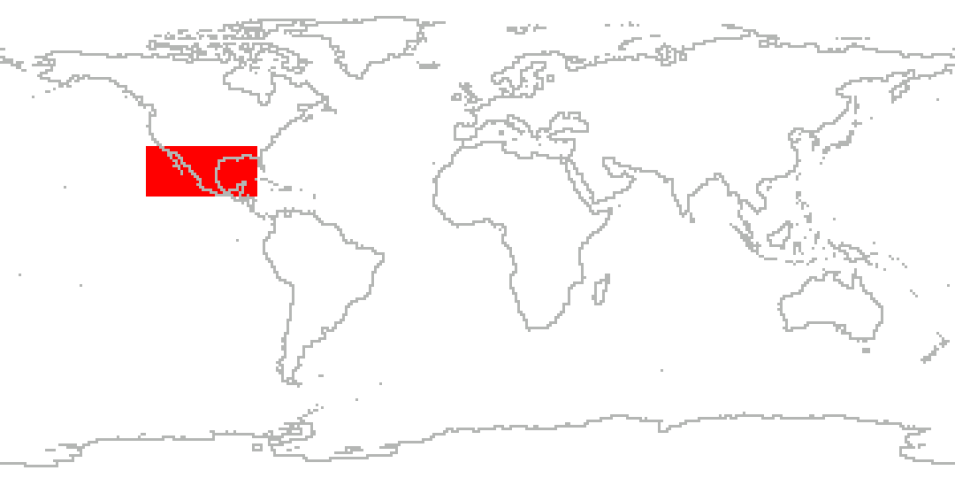
The East Pacific Origins and Characteristics of Hurricanes (EPOCH) project was a NASA program manager training opportunity directed at training NASA young scientists in conceiving, planning, and executing a major airborne science field program. Combined with this goal, the EPOCH project was to sample tropical cyclogenesis, or intensification, of an Eastern Pacific hurricane.
The EPOCH project consists of three payload instruments, ER-2 X-band Radar (EXRAD), High Altitude Monolithic Microwave Integrated Circuit Sounding Radiometer (HAMSR), and Advanced Vertical Atmospheric Profiling System (AVAPS), onboard the AV-6 Global Hawk Unmanned Aerial Vehicle research aircraft. The launch site was at the Armstrong Flight Research Center located on Edwards Air Force Base in California. The launch/flight window consisted of up to six 24-hour science flights from August 1, 2017, through August 31, 2017, over the Pacific Ocean.
Cite the Collection
To cite the entire collection, please use the following:
Emory, Amber E., Matthew McLinden, Mathias Schreier, and Gary A. Wick. 2021. East Pacific Origins and Characteristics of Hurricanes (EPOCH) Collection [indicate subset used]. Data available online [http://earthdata.nasa.gov/centers/ghrc-daac] from the NASA EOSDIS Global Hydrometeorology Resource Center Distributed Active Archive Center, Huntsville, Alabama, U.S.A. doi: http://dx.doi.org/10.5067/EPOCH/DATA101
For more information on citing data archived by NASA's Global Hydrometeorology Resource Center Distributed Active Archive Center (GHRC DAAC), see NASA's data use policy.
General Characteristics
| Projects | EPOCH | |
|---|---|---|
| Platforms | Global Hawk | |
| Sensors/Instruments | EXRAD, AVAPS | |
| Parameters | Doppler velocity, Radar reflectivity, Atmospheric precipitation indices | |
| Processing level | L1B | |
| Formats | HDF-5 | |
