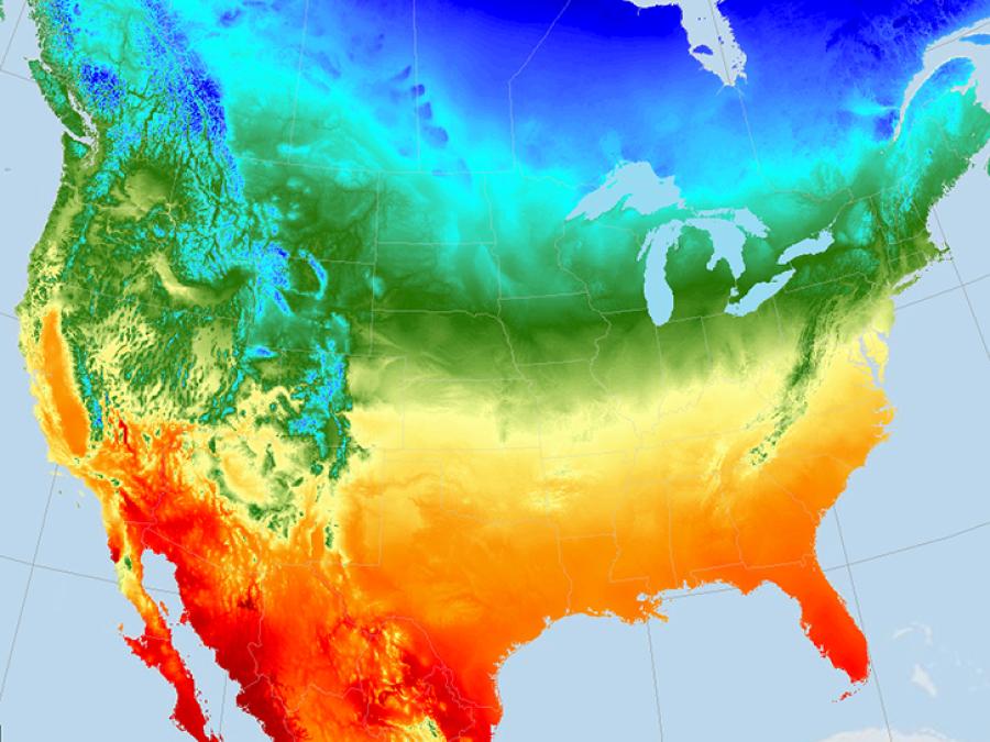
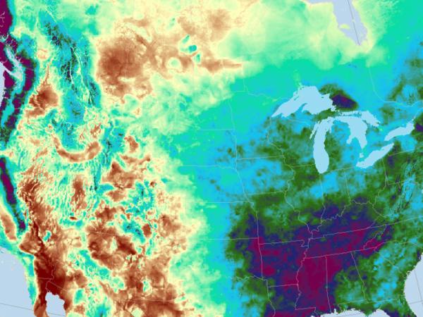
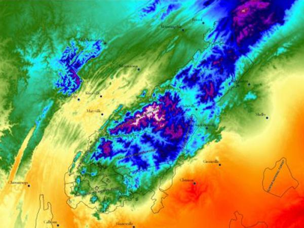
The Daymet algorithm manages the large number of input data and large spatial extent of the study area by creating a system of 2 degree x 2 degree tiles that are processed individually through the Daymet software. These tiles are identified by a TileID that is derived within the Daymet algorithm and is consistent throughout the temporal period of the Daymet record.
The Daymet calendar is based on a standard calendar year. All Daymet years have 1 - 365 days, including leap years. For leap years, the Daymet database includes leap day. Values for December 31 are discarded from leap years to maintain a 365-day year.
Annual Climate Summaries on a 1-km Grid for North America, Version 4 R1
Filename format: daymet_v4_<pppp>_ann<xxx>_<region>_<yyyy>.<ext>, where:
<pppp> is the respective parameter abbreviation (prcp, swe, tmax, tmin, and vp),
<xxx> is the summary, either 'avg' (average) or 'ttl' (total),
<region> is either 'na' (for continental North America), 'hi' (for hawaii), or 'pr' (for Puerto Rico),
<yyyy> is year (1950 through 2023), and
<ext> is file format extension, either 'nc' (netCDF) or 'tif' (Cloud-Optimized GeoTIFF)
Example filename: daymet_v4_tmax_annavg_na_2014.nc
Daily Surface Weather Data on a 1-km Grid for North America, Version 4 R1
Filename format: daymet_v4_daily_<region>_<pppp>_<yyyy>.nc, where:
<region> is either 'na' (for continental North America), 'hi' (for hawaii), or 'pr' (for Puerto Rico),
<pppp> is the respective parameter abbreviation (dayl, prcp, srad, swe, tmax, tmin, and vp), and
<yyyy> is year (1950 through 2023).
Example filename: daymet_v4_daily_na_prcp_2014.nc
Sub-daily Climate Forcings for Puerto Rico
The file naming convention is clmforce.Daymet4_<reanalysis_ds>_PR.1km.<var>.<yyyy-mm>.nc, where:
<reanalysis_ds> = the meteorological reanalysis dataset 'GSWP3' or 'NARR'
<var> = the file variable(s) desription abbreviation ('Prec', 'Solr', 'TPQWL')
<yyyy-mm> = the year-month date range of the file
Example filename: clmforc.Daymet4_GSWP3_PR.1km.Prec.1950-01.nc
Daymet Version 4 Monthly Latency: Daily Surface Weather Data
Filename format: daymet_v4ll_daily_<region>_<pppp>_<yyyy><mm>.nc, where:
<region> 'na' (continental North America), 'pr' (Puerto Rico), 'hi' (Hawaii)
<pppp> is the respective parameter abbreviation (dayl, prcp, srad, swe, tmax, tmin, and vp),
<yyyy><mm> is year and month
Example filename: daymet_v4ll_daily_na_tmax_202101.nc
Monthly Climate Summaries on a 1-km Grid for North America, Version 4 R1
Filename format: daymet_v4_<pppp>_mon<xxx>_<region>_<yyyy>.<ext>, where:
<pppp> is the respective parameter abbreviation (prcp, swe, tmax, tmin, and vp),
<xxx> is the summary, either 'avg' (average) or 'ttl' (total),
<region> is either 'na' (for continental North America), 'hi' (for hawaii), or 'pr' (for Puerto Rico),
<yyyy> is year (1950 through 2022), and
<ext> is file format extension, either 'nc' (netCDF) or 'tif' (Cloud-Optimized GeoTIFF)
Example filename: daymet_v4_tmin_monavg_na_1988.nc
Station-Level Inputs and Cross-Validation for North America, Version 4 R1
Filename format: daymet_v4_stnxval_<pppp>_<region>_<yyyy>.nc, where:
<pppp> is the respective meteorological variable (tmax, tmin, and prcp)
<region> is 'na' (for continental North America), 'hi' (for Hawaii), or 'pr' (for Puerto Rico), and
<yyyy> is year (1950 through 2022)