

ALOS PALSAR RTC Project
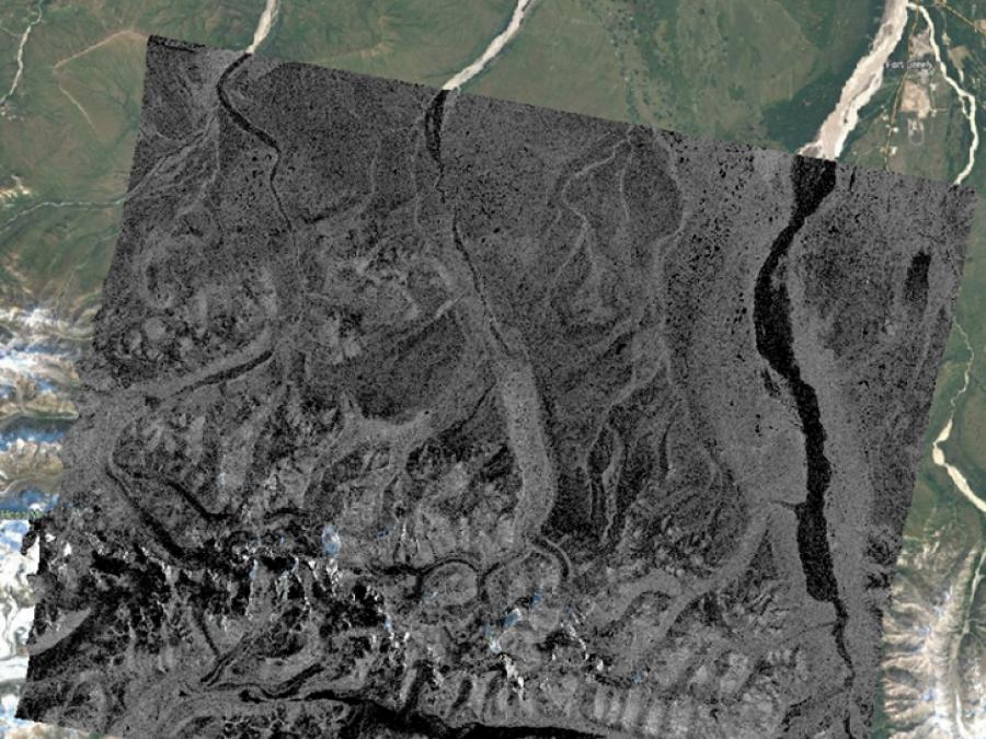
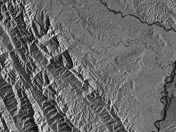
The objective of the Alaska Satellite Facility (ASF) ALOS PALSAR RTC Project was to generate an analysis-ready synthetic aperture radar (SAR) product suitable for use in a variety of Earth science applications. Radiometric terrain correction (RTC) removes the inherent geometric and radiometric distortions from an image caused by side-looking radar. Processing of the Advanced Land Observing Satellite (ALOS) Phased Array type L-band Synthetic Aperture Radar (PALSAR) RTC products began in October 2014 and was completed one year later.
Data used in the RTC project were all ALOS PALSAR Fine Beam (FBS, FBD) and Polarimetric (PLR) scenes in the ASF archive at the time. Spatial coverage of the RTC products includes global land areas except those where a suitable digital elevation model (DEM) was not available – Antarctica, Greenland, Iceland, and northern Eurasia.
Products are available in high-resolution (12.5-meter) and low-resolution (30-meter), are geocoded to a Universal Transverse Mercator (UTM) projection, and provided in an analysis-ready, Geograhic Information Systems (GIS)-compatible GeoTIFF format.
Radiometric Terrain Corrected Properties
| Dataset Property | High Resolution (RT1) | Low Resolution (RT2) |
|---|---|---|
| Temporal Coverage | 2006-2011 | 2006-2011 |
| Pixel Spacing | 12.5 meter | 30 meter |
| File Format | GeoTIFF | GeoTIFF |
| Browse Image Format | GeoJPEG 1000 x 1000 pixels | GeoJPEG 1000 x 1000 pixels |
| Pixel Values | Gamma nought power in 32-bit floating point format | Gamma nought power in 32-bit floating point format |
| Files Included in the Package |
|
|
| Provider | Japan Aerospace Exploration Agency (JAXA) | Japan Aerospace Exploration Agency (JAXA) |
| Date Published | 2014 | 2014 |
Notes
- Technical information is available in the RTC Product Guide and Algorithm Theoretical Basis Document (ATBD).
- Color browse images are available for dual and quad polarizations (FBD and PLR products).