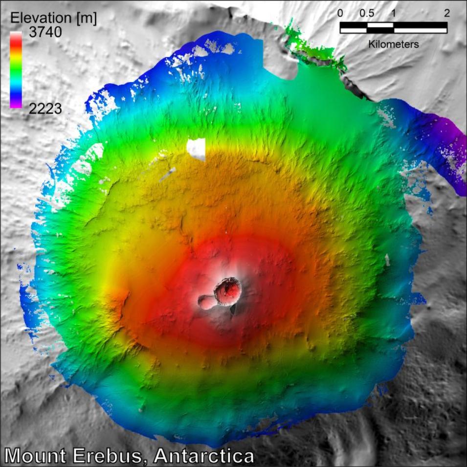
The Airborne Topographic Mapper (ATM) measures topography to an accuracy of ten to twenty centimeters by combining measurements from an airborne laser altimeter and GPS (Global Positioning System) receivers. The ATM has demonstrated this accuracy at distances as great as 1000 kilometers from any base station. The current ATM instruments (ATM2 and ATM3) and their predecessors have a history going back to the mid-1970s. The instruments commonly fly aboard the NASA P3-B based at Wallops Flight Facility, Virginia. ATM2 has also flown aboard several twin-otter (DH-6) aircraft. A major task of the ATM over recent years has been the measurement of the Greenland ice sheet with the goal of determining changes in the ice sheet elevation. Other uses have included verification of satellite altimeters and the measurement of sea-ice thickness. The altimeter often flies in conjunction with other instruments and has been used to measure sea-surface elevation and ocean wave characteristics.
We are in the process of migrating all NASA Earth science data sites into Earthdata from now until end of 2026. Not all NASA Earth science data and resources will appear here until then. Thank you for your patience as we make this transition.
Read about the Web Unification Project
