Hotan River, China
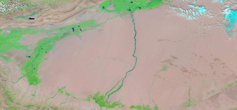
False-color image of the Hotan River in China. The image was acquired on 17 August 2020 by the Moderate Resolution Imaging Spectroradiometer (MODIS) instrument, aboard NASA's Terra satellite. The image is comprised of the MODIS bands 7-2-1. This band combination is useful for highlighting floods and vegetation.
Liquid water on the ground appears very dark since it absorbs in the red and the SWIR. Sediments in water appear dark blue. Vegetation is very reflective in the near infrared (Band 2), and absorbent in Band 1 and Band 7. Assigning that band to green means even the smallest hint of vegetation will appear bright green in the image. Naturally bare soil, like a desert, is reflective in all bands used in this image, but more so in the shortwave infrared (SWIR) (Band 7, red) and so soils will often have a pinkish tinge. This combination is also useful for distinguishing burn scars from naturally low vegetation or bare soil.
The Hotan River is formed at the confluence of the White Jade (Yurungkash) and Black Jade (Karakash) Rivers in the middle of the Taklamakan Desert and flows northward through the desert to the Tarim River. The river flows in the summer months due to snowmelt from the mountains.
Visit Worldview to visualize near real-time imagery from NASA's EOSDIS, and check out more Worldview weekly images in our archive.
