We are in the process of migrating all NASA Earth science data sites into Earthdata from now until end of 2026. Not all NASA Earth science data and resources will appear here until then. Thank you for your patience as we make this transition.
Read about the Web Unification Project
Coastal Processes News
Articles, resources, and announcements from Coastal Processes.

NASA significantly enhanced its MODIS and VIIRS near real-time flood products, enabling users to distinguish between unusual and recurring flooding.
Blog
April 10, 2026
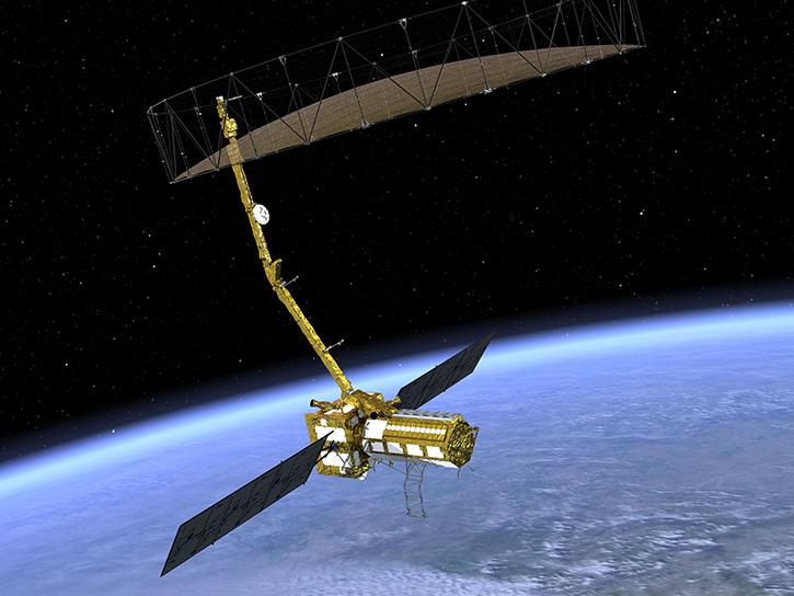
The NISAR mission kicks off a new era in Earth observation, with two powerful radars tracking planetary change in unprecedented detail.
News
Aug. 4, 2025

Image captured on July 13, 2025, from the MSI instrument aboard ESA's Sentinel-2B satellite.
Worldview Image of the Week
July 18, 2025
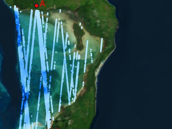
ATL24, a new space-based lidar product, provides bathymetry data that can be used to characterize nearshore habitats and create safer maritime transportation channels.
News
May 2, 2025
Understanding Needs to Broaden Outside Use of NASA Data for Coastal Issues (UNBOUND CI) is a multi-session virtual workshop for data practitioners involved in coastal zone management, flood risk management, sea-level rise, and subsidence issues to help make NASA Earth science data products more discoverable and suitable for addressing issues in coastal zones.
Event
Aug. 8, 2023
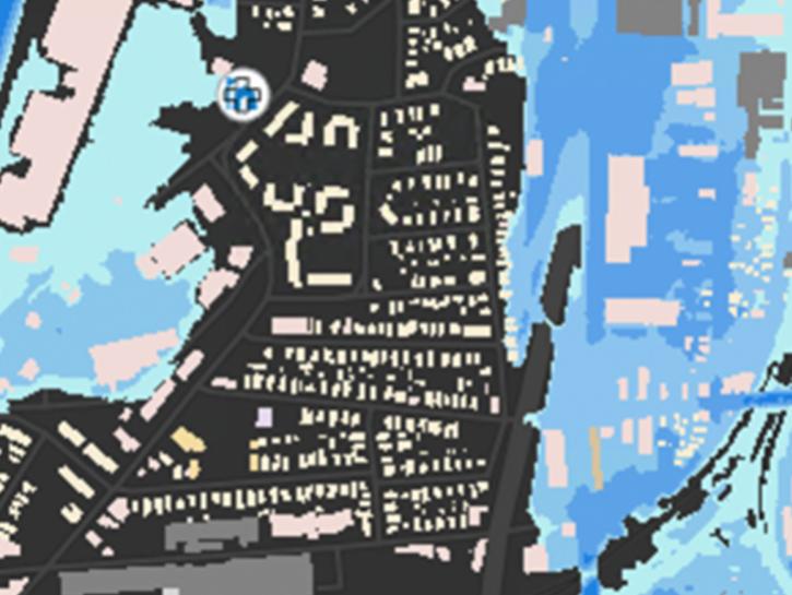
The New York State Flood Impact Support System Application visualizes building footprint data for nearly all New York State's infrastructure.
News
July 7, 2023

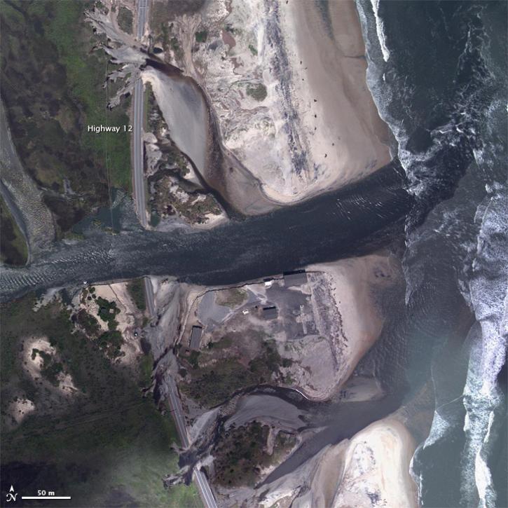
Image captured on Sep 30, 2022 by the MODIS instrument aboard NASA's Aqua satellite.
Worldview Image of the Week
Oct. 6, 2022

The new Sea Level Change Data Pathfinder highlights the different datasets used to piece together the status and drivers of sea level rise.
Feature Article
Feb. 18, 2022
SHOWING 8 OF 37