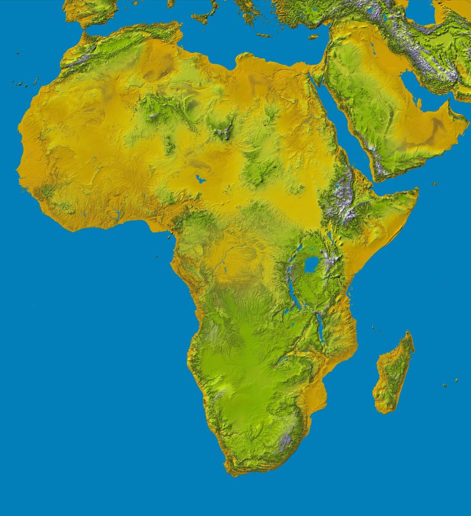
The Shuttle Radar Topography Mission (SRTM) payload flew aboard the Space Shuttle Endeavour during the STS-99 mission. SRTM collected topographic data over nearly 80% of Earth's land surfaces, creating the first-ever near-global dataset of land elevations.
The SRTM payload consisted of two radar antennas, one located in the shuttle's payload bay and the other installed on the end of a 200-foot mast that extended from the payload bay. Each SRTM radar assembly contained two types of antenna panels: C-band and X-band. C-band radar data were used to create near-global topographic maps of Earth called Digital Elevation Models (DEMs).
Data from the X-band radar were used to create slightly higher resolution DEMs but without the global coverage of the C-band radar. The two radar datasets were combined to create interferogramatic maps of scanned areas. SRTM measurements took place February 11-22, 2000.
