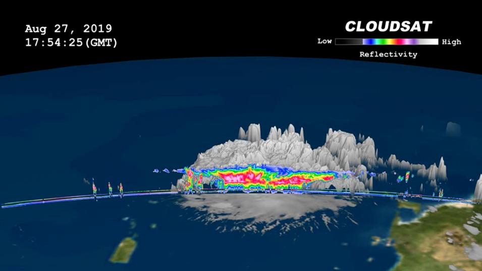
The Cloud Profiling Radar (CPR) is a downward-looking radar flying aboard the CloudSat satellite used to obtain measurements of Earth's cloud properties from space. The radar was developed to study clouds in detail to better characterize the role they play in regulating Earth's climate by directly surveying the vertical structure and overlap of cloud systems and their liquid- and ice-water contents. CPR is a 94 GHz radar that provides the best combination of power and sensitivity that will work aboard a small satellite generating its own electricity. CPR's data have improved cloud representations in atmospheric models, as well as the accuracy of weather forecasts and climate predictions made using those models.
We are in the process of migrating all NASA Earth science data sites into Earthdata from now until end of 2026. Not all NASA Earth science data and resources will appear here until then. Thank you for your patience as we make this transition.
Read about the Web Unification Project
