We are in the process of migrating all NASA Earth science data sites into Earthdata from now until end of 2026. Not all NASA Earth science data and resources will appear here until then. Thank you for your patience as we make this transition.
Read about the Web Unification Project
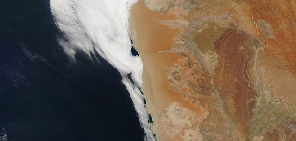
Namib Desert, Namibia
Image captured on 21 April 2019, by the MODIS instrument, aboard the Terra satellite
True-color image of the Namib Desert in Namibia. It is one of the world's largest and oldest deserts in the world. The image was acquired on 21 April 2019 by the Moderate Resolution Imaging Spectroradiometer (MODIS) instrument, aboard the Terra satellite.
Visit Worldview to visualize near real-time imagery from NASA's Earth Observing System Data and Information System (EOSDIS).
Details
Last Updated
Published on
Nov. 4, 2020
