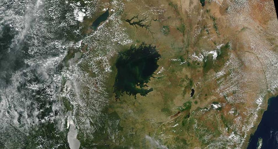
Image of Lake Victoria, which is divided amongst three African countries, Uganda to the north, Kenya to the east and Tanzania to the South. This image was acquired on 14 March 2016 by the Moderate Resolution Imaging Spectroradiometer (MODIS) sensor aboard the Aqua satellite.
Visit Worldview to visualize near real-time (NRT) data from NASA's Earth Observing System Data and Information System (EOSDIS).
