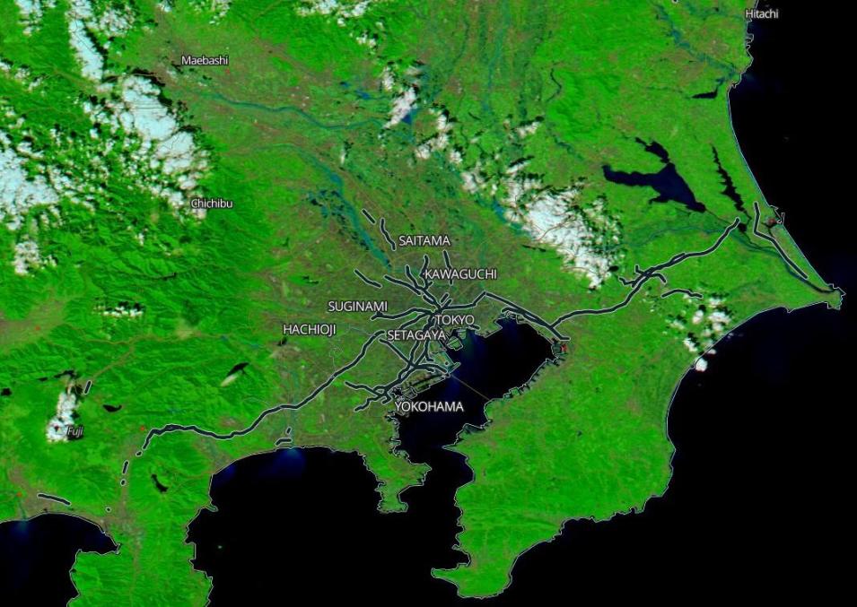
Image showing flooding near Tokyo, Japan, acquired on 13 October 2019 by the Moderate Resolution Imaging Spectroradiometer (MODIS) Instrument, aboard the Aqua satellite.
This false-color image using MODIS bands 7-2-1 is useful for distinguishing flooding areas. The blue areas indicate areas of flooding at the time of the satellite observation. Use the comparison tool to view the difference between the landscapes on 2 October and 13 October.
Visit Worldview to visualize near real-time imagery from NASA's EOSDIS, and check out more Worldview weekly images in our archive.
