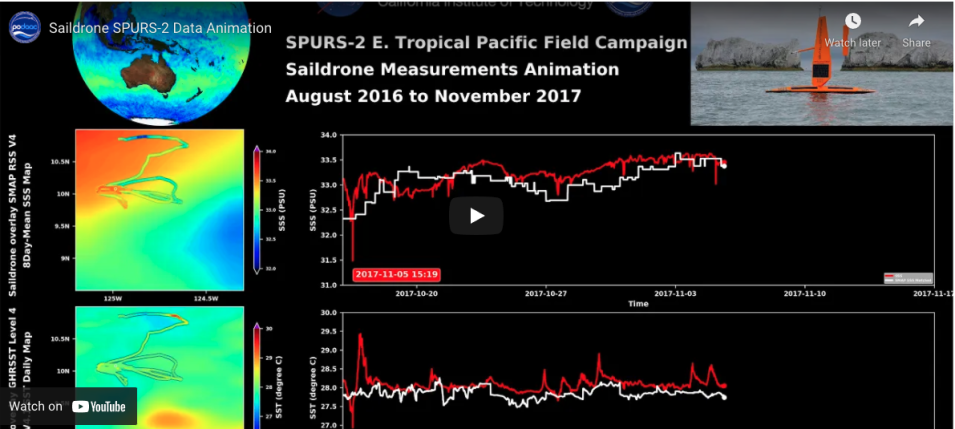
A new animation showing sea surface salinity (SSS) and sea surface temperature (SST) data collected by the Saildrone unmanned surface vehicle (USV) is available at NASA’s Physical Oceanography Distributed Active Archive Center (PO.DAAC). The data were collected in a low-salinity, high precipitation region in the eastern tropical Pacific Ocean between August 2016 and November 2017 as part of the Salinity Processes in the Upper Ocean Regional Study-2 (SPURS-2) field campaign, which was a follow-on to the original SPURS project.
SPURS, which is funded principally by NASA with support from other U.S. agencies and European partners, is a series of science process studies and associated oceanographic field campaigns exploring the mechanisms responsible for near-surface salinity variations in the oceans. (Note that there is no audio with the animation.)
