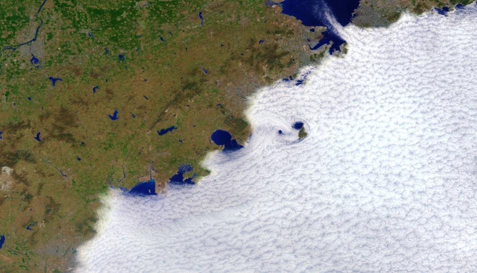
"The Continuity MODIS VIIRS Cloud Mask (MVCM) is designed to facilitate continuity in cloud detection between MODIS and VIIRS, beginning with the Suomi NPP spacecraft," write the authors of the MVCM user guide. "Global Terra and Aqua MODIS cloud products, including cloud fraction, are available from early 2000 until present and are expected to continue through 2026. The VIIRS data begin in early 2012 and will potentially be available through 2040 on various satellite platforms. Together, these instruments constitute a 40-year record of satellite ocean, land, and atmosphere measurements, including clouds."
The Cloud Mask Data Product
Scientific understanding of global change requires long term, reliable measurements of the key physical variables that define the variability and shifts in multiple components of the Earth system. The high-quality datasets providing these measurements require stable, well-calibrated instruments and consistent and validated algorithms.
Establishing continuity of cloud data records between MODIS and VIIRS can be difficult due to the absence of carbon dioxide-slicing water vapor spectral channels on the VIIRS instrument. To address this challenge, members of the MODIS-VIIRS Atmosphere Discipline Team developed a common MVCM algorithm that uses observations from spectral channels available from both instruments. The new NOAA-21 VIIRS Cloud Mask 6-Min Swath 750m product is based on this algorithm and uses a series of visible and infrared threshold and consistency tests to specify confidence that an unobstructed view of Earth's surface has been observed.
In addition to cloud mask results, the NOAA21 VIIRS Cloud Mask 6-Minute Swath 750m data product contains geolocation information, scan line start times, and various attribute data. The product record spans from February 10, 2023, through the present. Data are available in netCDF 4 format.
Data Access
The new data product is available through NASA's Earthdata Search as well as through LAADS DAAC dataset landing pages. The data are also available in NASA's Earthdata Cloud. Having these data in the cloud gives users the opportunity to access and process large quantities of data and promotes opportunities for innovation around new services such as sequencing data to aid machine learning and artificial intelligence and supporting NASA's Open-source Project for a Network Data Access Protocol (OPeNDAP).
Learning Resources
