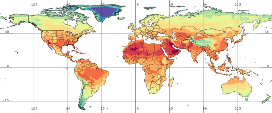
Three new global land surface data sets recently added to NASA’s Goddard Earth Sciences Data and Information Services Center (GES DISC) collection will aid not only in hydrologic, land surface process, and climate analysis, but also provide support for detecting areas susceptible to famine and drought.
New Land Surface Global Data Products at GES DISC
The release of the Famine Early Warning Systems Network (FEWS NET) Land Data Assimilation System (FLDAS) Version 001 global monthly data sets from the Noah Version 3.6.1 Land Surface Model (LSM) includes three new data sets: global monthly data, global monthly climatology data, and global monthly anomaly data. The time range for the global data set is January 1982 to present; the monthly climatology and anomaly data sets are based on a 35-year average (1982 to 2016). All three data sets are available in NetCDF format.
FLDAS is a custom instance of NASA’s Land Information System (LIS) that has been adapted to work with food security assessment in data-sparse, developing countries. The FLDAS objective is to more effectively use hydroclimatic observations in areas where these observations are limited to support FEWS NET decision-making. NASA’s LIS is a software framework for high performance terrestrial hydrology modeling and data assimilation, developed with the goal of integrating satellite and ground-based observational data products and advanced modeling techniques to produce optimal fields of land surface states and fluxes. LIS is developed and maintained by the Hydrological Sciences Laboratory at NASA’s Goddard Space Flight Center in Greenbelt, Maryland.
FLDAS data sets, including the new data sets, can be discovered and downloaded using NASA's Earth Observing System Data and Information System’s (EOSDIS) Earthdata Search application or GES DISC’s Hydro HTTPS download system, and can be interactively viewed and analyzed using GES DISC’s Giovanni application.
