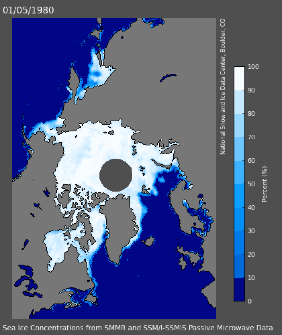
The modern satellite sea ice data record was launched, literally and figuratively, on October 25, 1978, with NASA’s Nimbus-7 satellite (operational 1978 to 1995). While instruments for observing and sensing sea ice had been launched previously, Nimbus-7 carried the Scanning Multichannel Microwave Radiometer (SMMR), an advanced sensor using multiple microwave frequencies to more accurately observe sea ice concentration and extent. SMMR data are one of the foundations of the sea ice data collection at NASA’s National Snow and Ice Data Center Distributed Active Archive Center (NSIDC DAAC). NSIDC DAAC is NASA's Earth Observing System Data and Information System (EOSDIS) DAAC responsible for NASA Earth science data related to snow, sea ice, glaciers, ice sheets, ice shelves, frozen ground, soil moisture, cryosphere, and climate interactions. SMMR data are available from October 1978 through August 1987, when the Nimbus-7 SMMR scanner was turned off.
A recent NSIDC article describes the significance of SMMR data and how the sea ice data record has developed over the past 40 years. Data from NASA’s recently launched Ice, Cloud and land Elevation Satellite-2 (ICESat-2) will provide an even more detailed and accurate assessment of ice thickness. ICESat-2 data soon will be available through NSIDC DAAC.
Read the full article: https://nsidc.org/nsidc-monthly-highlights/2018/10/modern-sea-ice-satellite-record-turns-40
Explore SMMR data: https://nsidc.org/data/smmr_ssmi
