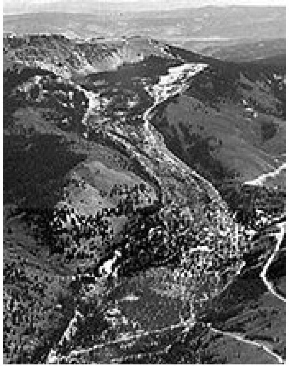
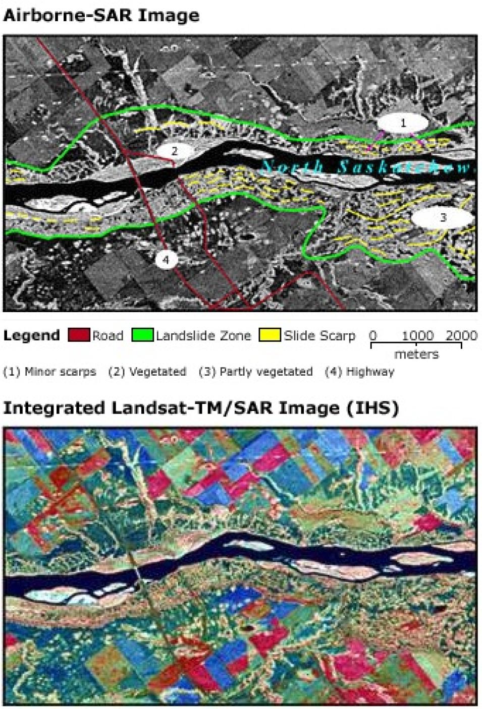
Radarsat-1, an advanced Earth observation satellite launched by the Canadian Space Agency in 1995, produces InSAR images for landslide assessment. Other radar systems, such as the European Remote Sensing Satellite (ERS) 1 and 2 and NASA's Shuttle Radar Topography Mission (SRTM), also have potential for geohazard assessment.
Singhroy, along with colleagues K. Mattar and L. Gray, used InSAR and high-resolution SAR images to map the geomorphic features of landslide areas in the Fraser Valley, located in British Columbia, Canada. Landslides in the Fraser Valley, which links the resource-rich prairie provinces with metropolitan Vancouver, have caused serious damage to major transportation links. In 1997, landslides caused the derailment of the Canadian National Railway, resulting in two deaths and $20 million in damage. To date, 35 landslides, ranging in size from 1 million to 500 million cubic meters, have been identified in the Fraser Valley.
Singhroy said that, although the role of Earth observation data in producing landslide maps is still in its infancy, developing new remote sensing techniques to identify landslides and debris flows will assist in the current national landslide inventory and hazard mapping in mountainous terrains.
"The integration of SAR and TM images, along with interferometric SAR techniques, are extremely useful in characterizing landslides and will supplement the air photo methods currently being used," said Singhroy in an article published in Advances in Space Research.
According to Singhroy, fused data images create image perspectives that can help civil defense workers know where potentially hazardous areas are. "In the case of volcanoes, they help us map dangerous terrains and potential lava paths," he said.
The 1985 volcanic eruption of Nevado del Ruiz in the Columbian Andes Mountains proved just how invaluable accurate hazard maps are in identifying at-risk communities. When the volcano erupted, glacier melt spawned massive mudflows that buried 20,000 people in the town of Armero overnight. "The hazard zone was actually much larger than the risk maps had indicated," said Singhroy. (See Life on the Brink for information about population centers on or near volcanoes.)
"Image fusion and perspective views will help us mitigate these risks. We need to learn how to live in hazardous areas and use these tools to minimize damage," he said.
References
Singhroy, V., K.E. Mattar, and A.L. Gray. 1998. Landslide Characterisation in Canada Using Interferometric SAR and Combined SAR and TM Images. Advances in Space Research. 21(3). pp. 465-476.
Singhroy, V. and K.E. Mattar. 2000. SAR Image Techniques for Mapping Areas of Landslides. Proceedings ISPRS Congress, Amsterdam, 2000. pp. 1395-1402.
USGS National Landslides Hazards Program Accessed September 6, 2001.
CEOS Landslide Management. [Online] (Accessed September 6, 2001).
NASA Alaska Satellite Facility Distributed Active Archive Center (ASF DAAC)
NASA Land Processes DAAC (LP DAAC)
| About the remote sensing data used |
|---|
| Satellite | RADARSAT-1 | Landsat ERS |
| Sensor | Synthetic Aperture Radar (SAR) SAR Interferometry (InSAR) | Shuttle Radar Topography Mission (SRTM) |
| Parameter | geohazard assessment | geohazard assessment |
| DAAC | NASA Alaska Satellite Facility Distributed Active Archive Center (ASF DAAC) | NASA Land Processes DAAC (LP DAAC) |


