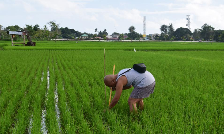
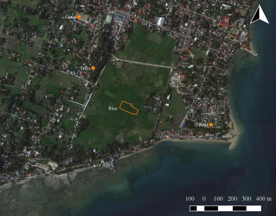
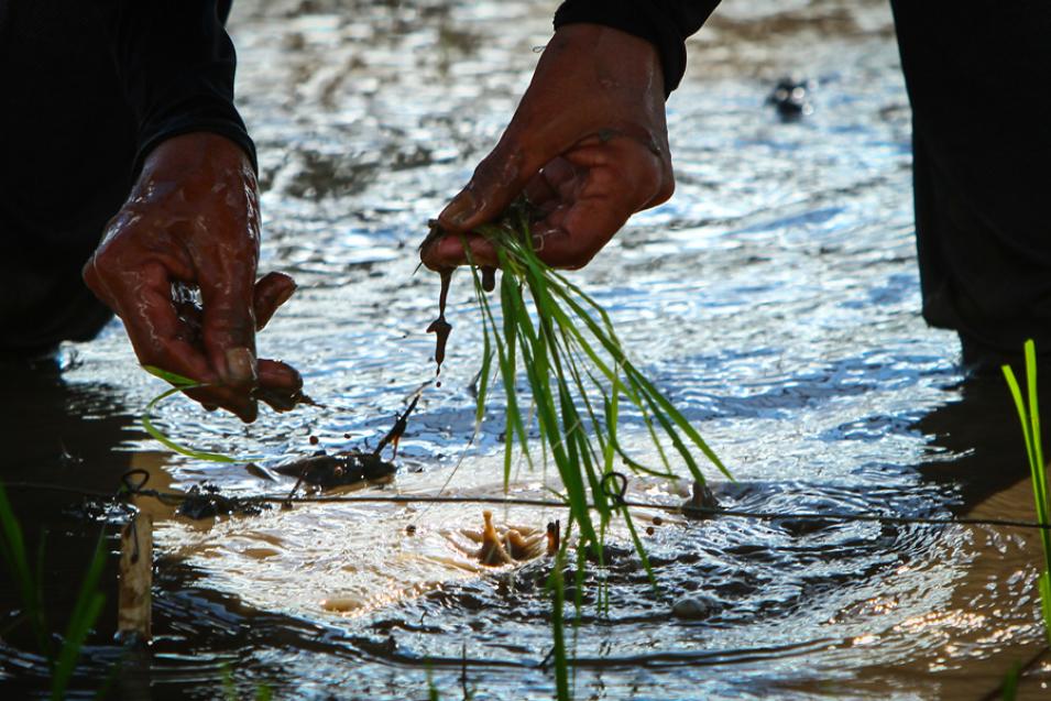
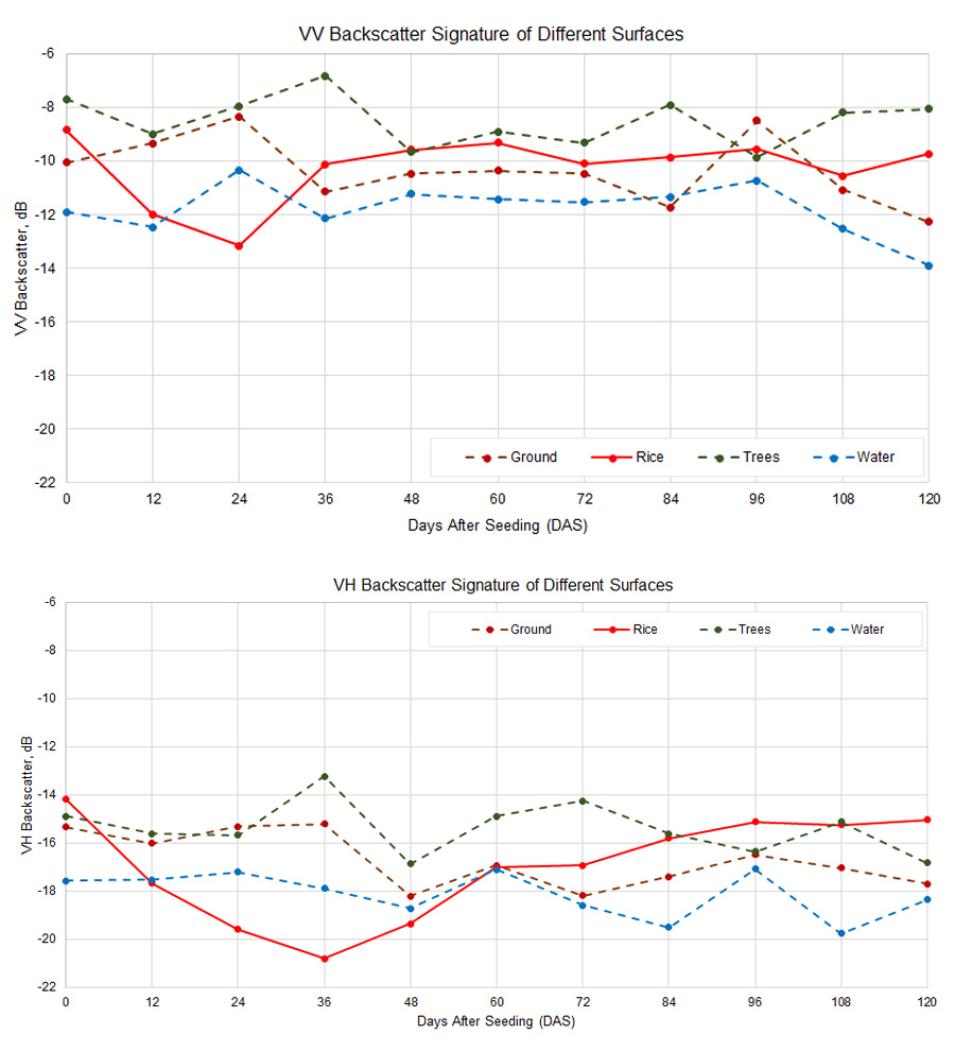
Every twelve days, agricultural engineer Ritche Nuevo took his meter stick, caliper, and a notebook to a small rice field close to his home. Nuevo lives and works in the coastal town of Argao, on the Philippine island of Cebu. When he was not teaching or spending time with his wife and kids, he was often at the rice field measuring growing rice plants. He kept a list of days to visit the flooded paddies that coincided with the European Space Agency’s Sentinel-1 satellite flying over the archipelago, 692 kilometers (430 miles) above him.
Ranging from school bus-sized to small as a Rubik’s Cube, satellites orbit Earth several times a day. Whatever the size, most satellites measure continents and large countries best, particularly because they are so far away from what they are measuring. In the last few years, however, some satellites have been equipped with better sensors that can see Earth’s surface at very high resolution, or in more detail. Launched in 2014, Sentinel-1 was one of those satellites.
“I was intrigued by the possibility of using Sentinel-1 data to monitor small-scale rice farms, which are common here in the Philippines,” Nuevo said.
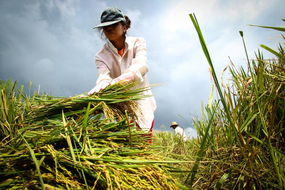
Nuevo wanted to find a way to track rice growth using Sentinel-1 to help small-scale rice farmers and agencies assisting farmers quickly estimate crop damage from droughts and strong typhoons. Storms blow through the Philippine archipelago from June to October, sometimes destroying crops with relentless rains and gale-force winds. Timely assessments of rice damage are crucial in rice-dependent countries like the Philippines, which would need to quickly import the crop to prevent an acute national shortage.
