Stars, Clouds, Crops

For more than 400 years, Andean mountain people in Peru and Bolivia have forecasted the most auspicious time to plant potatoes by stargazing.

For more than 400 years, Andean mountain people in Peru and Bolivia have forecasted the most auspicious time to plant potatoes by stargazing.

Aymara- and Quechua-speaking farmers watch the skies for a week before the Catholic festival celebrating San Juan (Saint John), June 24. At midnight of the feast day, villagers climb the mountains, arriving at the peaks a few hours before dawn to drink and sing. Looking toward the northeast, where the Pleiades, a cluster of stars in the constellation Taurus, shine not far above the horizon, the farmers gauge the stars' brightness, note the stars' apparent sizes and the positions of the brightest stars.

Pleiades star cluster
Image Caption

The Pleiades star cluster is part of the Taurus constellation, one of the brightest visible in the northern hemisphere. (Image courtesy of the Astronomy Picture of the Day archives).

The dimmer the Pleiades, as determined by their apparent size and brilliance, the less rain the area will get six months later, said Benjamin Orlove, an anthropology professor from the University of California at Davis. If the stars are dim, sky-watchers anticipate dry weather and delay planting to reduce crop damage.

Scientists have known that El Niño reduces rainfall in the Andes. But until recently, no one had made a connection among El Niño events, shifts in the apparent brightness of the Pleiades stars in June, and drought in the following rainy season from October through March.

Orlove, Mark Cane, atmospheric scientist from Lamont-Doherty Earth Observatory of Columbia University, and John Chiang, graduate student at Lamont-Doherty, believe high, thin cirrus clouds obscure the Pleiades, the way thick low clouds sometimes make the sun look like a small disk. The researchers found that when these clouds appeared in June, an El Niño event would begin several months later, resulting in less rainfall to the Andes.

The research team correlated ritual observation reports from 12 villages and crop yield information with NASA satellite data, including precipitation data from the TIROS Operational Vertical Sounder (TOVS) distributed by NASA's Goddard Earth Sciences Data and Information Services Center (GES DISC), cloud data from the International Satellite Cloud Climatology Project (ISCCP) from NASA's Goddard Institute for Space Studies distributed by NASA's Atmospheric Science Data Center (ASDC), and cloud data from the Stratospheric Aerosol and Gas Experiment II (SAGE II) maintained at ASDC.

Andes Mountains potatoes
Image Caption

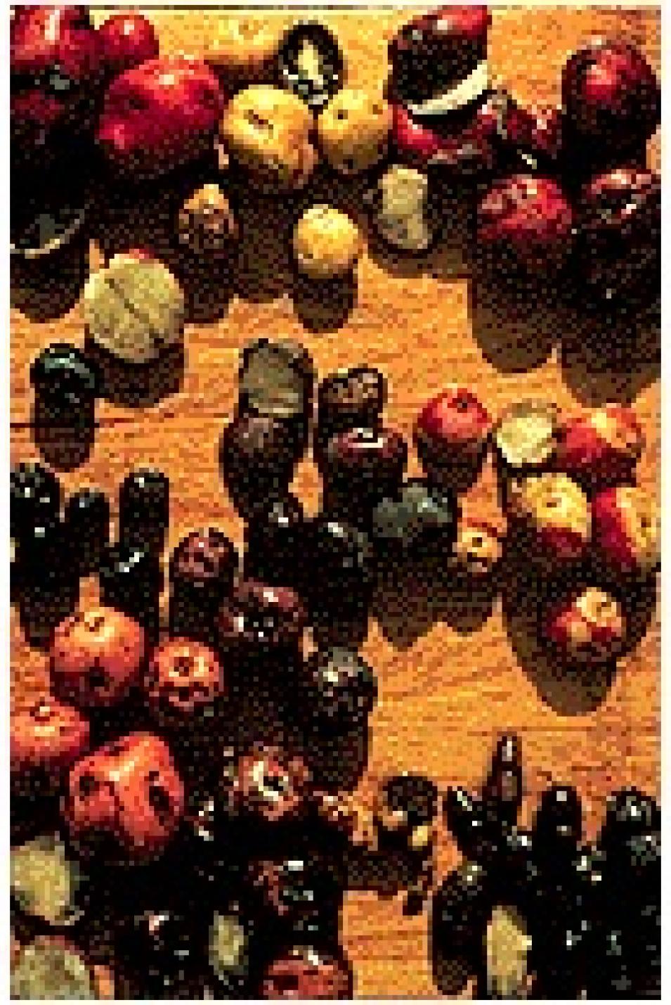
Introduced to Europe in the 16th century, potatoes are native to the Andes Mountains. (Image courtesy of the Smithsonian Institution's Seeds of Change Garden).

"Climate scientists heretofore had not looked for these correlations of El Niño and cloud cover. This study generates hypotheses for contemporary western modern atmospheric scientists to evaluate," Orlove said.

Cane heard about the Andean forecasting practice while on vacation in Peru. He had already studied ways to predict El Niño and thought the practice might have merit. Orlove, the UC-Davis anthropologist, had seen some of the rituals associated with the Pleiades-watching while working on his dissertation. Mutual friends put them in contact. It was the first time Orlove had worked with an atmospheric scientist, and the first time Cane had collaborated with an anthropologist, Orlove said. "On the face of it, it's slightly odd to look at stars to see whether they're dim, and decide what rainfall is going to be like a number of months down the road on that basis," Orlove said. "So we just wanted to see what kind of foundation there might be to that."

When they began their research, clouds were one of many possible explanations for the Pleiades' dimness. Other possibilities included the presence of atmospheric turbulence and dust, Orlove said. But the researchers realized it would take an enormous amount of atmospheric turbulence to change the brightness of the stars: more than what existed. They also rejected the likelihood that dust storms which occur in that area, caused the stars to appear dimmer, because, first, dust storms don't usually occur at that time of year, and second, because obtaining data about dust would be difficult, Chiang said.

One of Cane's colleagues suggested they examine satellite data on high clouds. Thin cirrus clouds are invisible from the ground and form above other clouds, near the top of the troposphere, the layer of Earth's atmosphere where weather occurs.

The ISCCP cloud cover data, planned for 1983 through 2005 with data currently from 1983 through 1994, show global cloud cover and cloud types over month-long intervals, allowing the researchers to determine that high clouds were present, dimming the Pleiades, and to verify that El Niño events correlated with high cloud appearances.

They needed more information about the high clouds, including the clouds' thickness and composition, available in the SAGE II data collection. To make these observations, a satellite is lined up so the Earth's atmosphere is between the satellite sensor and the sun. Then the sensor measures differences in the way the light gets through the atmosphere, Chiang said. The data allowed Chiang and the other researchers to compare high-cloud thickness at different times.

They found that when the high clouds were thicker, obscuring the Pleiades, the El Niño that occurred a few months later was more severe and less rain fell, thus confirming the farmer's observations.

Andes Mountains panoramic
Image Caption

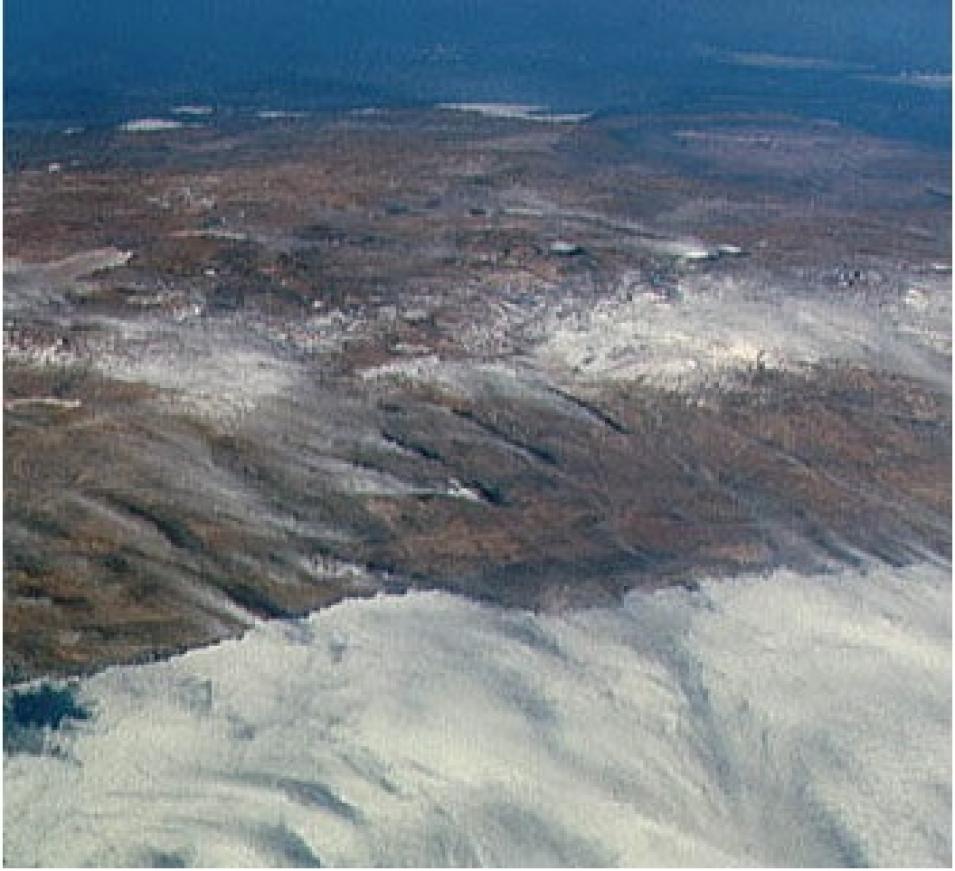
Panoramic view of the Andes Mountains, Chile and Argentina, showing wisps of cirrus clouds (Image courtesy of the JSC Digital Image Collection).

Orlove and Chiang said they could not have performed the study without the ISCCP and SAGE II data.

"Neither of us are primarily NASA people and we're putting the NASA data to use." Orlove said. "It goes to show that the environmental issues that can be addressed through data collected by NASA are of great significance to people around the world. I and my co-researchers feel very fortunate that these data exist and are publicly available so that we're able to make use of them."

Orlove hopes the connection between high clouds and El Niño, discovered through examining an ancient ritual, will encourage climate scientists to look more at indigenous practices all over the world to develop better forecasts.

"There are certainly many difficulties that farmers in underdeveloped nations face. I think it would help climate scientists to know what indigenous forecasting practices are, so they can perhaps combine knowledge to identify new forecasting techniques."

For more information

NASA Atmospheric Science Data Center (ASDC)

NASA Goddard Earth Sciences Data and Information Services Center (GES DISC)

International Satellite Cloud Climatology Project (ISCCP) Data Sets

About the remote sensing data used
Satellite Stratospheric Aerosol and Gas Experiment II (SAGE II) TIROS Operational Vertical Sounder (TOVS)
Parameter agriculture and El Niño agriculture and El Niño
DAAC NASA Atmospheric Science Data Center (ASDC) NASA Goddard Earth Sciences Data and Information Services Center (GES DISC)

Details

Last Updated

Published

Data Center/Project

Atmospheric Science Data Center (ASDC)
Goddard Earth Sciences Data and Information Services Center (GES DISC)