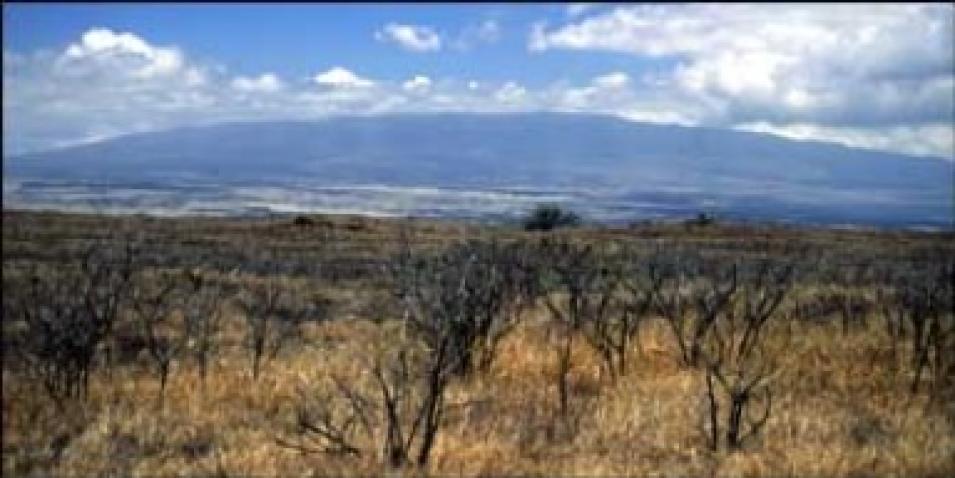
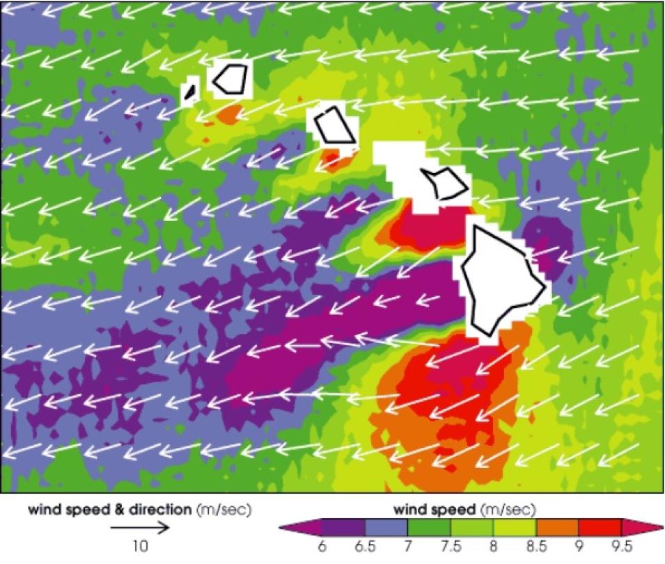
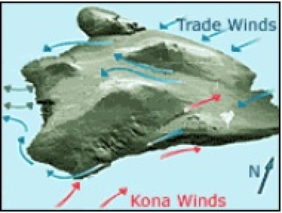
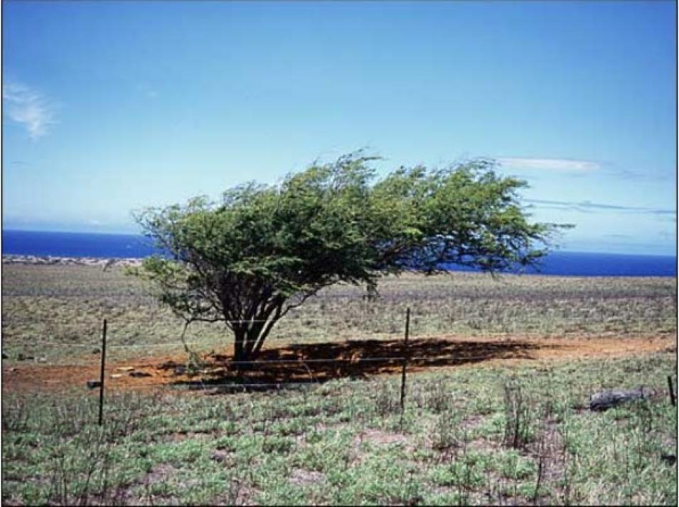
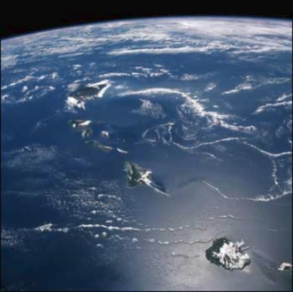
Xie cited a number of reasons why this phenomenon has only been observed in Hawaii. First, because the ocean reacts slowly to fast-changing winds, the wind system must be steady to exert forcing on the ocean, as is the case with the trade winds. Second, the high mountain topography of Hawaii provides a significant disturbance to the winds. Third, the Hawaiian Islands are large in horizontal scale, extending over four degrees in latitude. “It is this active interaction between wind, ocean current, and temperature that creates this uniquely long wake west of Hawaii,” Xie said.
The researchers’ discovery of the long wake testifies to the strong interaction between the atmosphere and ocean, which has strong implications for global climate research. “The strength of ocean-atmosphere interaction revealed in the Hawaiian wake helps us assess climate sensitivity, namely how much increase we will observe in the global mean temperature as we increase carbon dioxide levels,” said Xie. “It’s also important for understanding natural climate variations, like El Niño.”
According to Xie, the finding has important implications for models that predict the Earth’s climatic future. “There are a lot of uncertainties in existing models,” said Xie. “The vast Pacific Ocean has been poorly measured until now because there are only a few ships at sea at any given moment. We need to be able to reproduce this long wake effect in a model, and this can only be done with high-resolution satellite data. The discovery of this far-reaching effect of tiny islands demonstrates the huge potential for observing the oceans from space, and for even more surprising discoveries.
“A lot of people can’t even locate Hawaii on a map,” Xie concluded. “So, in that sense — it’s very surprising that an almost invisible geographic feature can have such a profound effect on the ocean-atmosphere system.”
References
Xie, S.-P., W.T. Liu, Q. Liu, and M. Nonaka. 2001. Far-reaching effects of the Hawaiian Islands on the Pacific Ocean-Atmosphere System. Science. 292(5524):2057-2060.
For more information
NASA Goddard Earth Sciences Data and Information Services Center (GES DISC)
NASA Physical Oceanography Distributed Active Archive Center (PO.DAAC)
International Pacific Research Center
| About the remote sensing data used |
| Satellite |
Tropical Rainfall Measurement Mission (TRMM) |
QuikSCAT |
TOPEX Poseidon |
| Sensor |
TRMM Microwave Imager (TMI) |
SeaWinds |
multiple |
| Parameter |
ocean currents
circulation patterns
Hawaii |
ocean currents
circulation patterns
Hawaii |
ocean currents
circulation patterns
Hawaii |
| DAAC |
NASA Goddard Earth Sciences Data and Information Services Center (GES DISC) |
NASA Physical Oceanography Distributed Active Archive Center (PO.DAAC) |
PO.DAAC |
