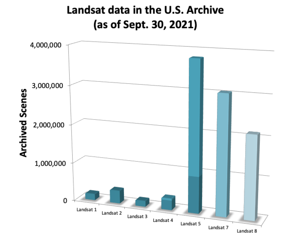
Since the launch of Landsat 1 in 1972, the Landsat mission satellites, a partnership between NASA and the U.S. Geological Survey (USGS), have produced more than 10 million images of Earth’s surface. This nearly 50-year record—the longest continuous global record of the Earth's natural and human-induced surface change—is unmatched in quality, detail, and coverage, and provides a unique and valuable resource for people in a variety of professions, including agriculture, cryosphere, water resources, natural resource management, regional planning, and ecological and global-change research.
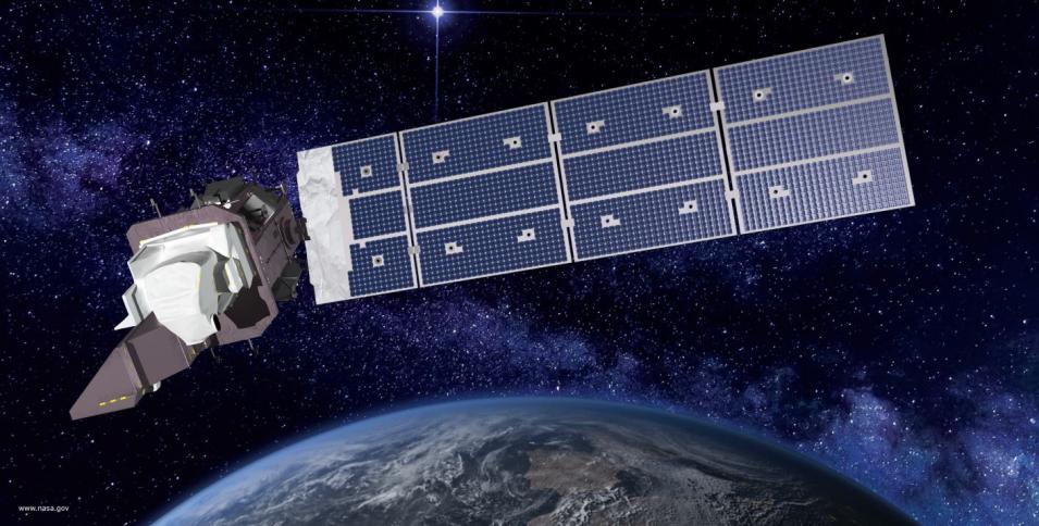
On September 27, 2021, the Landsat mission took a significant step toward continuing this long-term record of Earth observation with the launch of Landsat 9 from Vandenburg Space Force Base, located in California. Like its predecessor, Landsat 8, Landsat 9 will have a higher imaging capacity than earlier Landsat satellites, allowing for more data to be added to the Landsat global data archive.
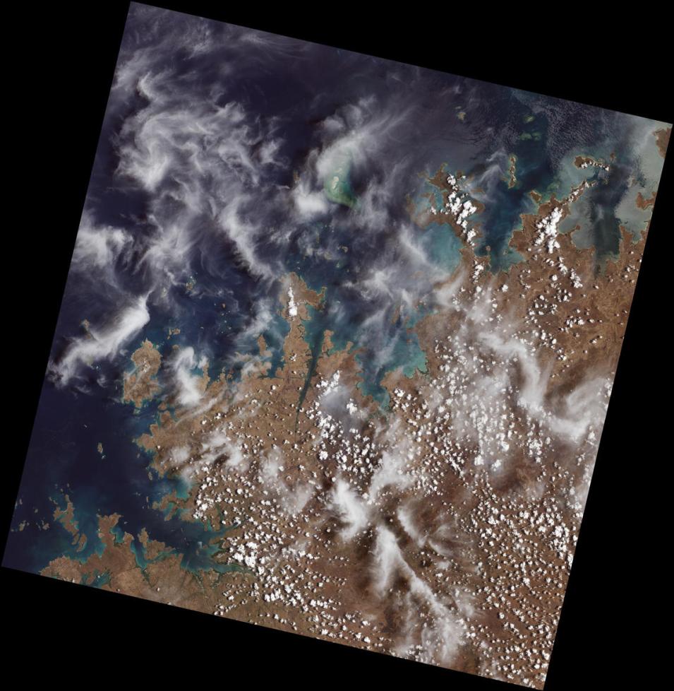
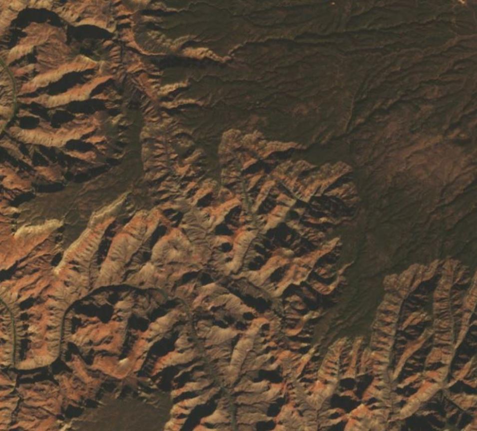
The Landsat mission offered a glimpse of Landsat 9’s capabilities when it released the first-light images from the satellite on October 31, 2021. These natural-color images of the Earth’s surface offer a preview of how the observatory will extend the mission’s long-term record of spaceborne Earth imagery.
“First light is a big milestone for Landsat users – it’s the first chance to really see the kind of quality that Landsat 9 provides,” said Dr. Jeff Masek, NASA’s Landsat 9 project scientist. “When we have Landsat 9 operating in coordination with Landsat 8, it’s going to provide a wealth of data, allowing us to monitor changes to our home planet every eight days.”
First light images are curated by NASA as part of the satellite’s 100-day post-launch commissioning and check-out period, which precedes the agency’s hand-over of the satellite’s control to the USGS (currently slated for January 2022). At that time, the Landsat 9 will be declared operational and the observatory will take the place of the aging Landsat 7. As Landsat 9 circumnavigates the Earth in a near-polar orbit, it will collect as many as 750 scenes per day at a 30-meter spatial resolution, and image almost the entire planet every 16 days. When it assumes Landsat 7’s position in the 705 km Earth Science constellation, Landsat 9 will be eight days out of phase with Landsat 8, giving the forthcoming Landsat 8 and Landsat 9 constellation a revisit time of 8 days (meaning the two satellites will cover nearly every point on Earth every eight days), as it currently is for Landsat 7 and Landsat 8. Orbiting in this configuration, together, both satellites will add nearly 1,500 new images to the USGS Landsat archive each day.
Yet, while Landsat’s 50-year record of 30-meter Earth observation is certainly noteworthy, USGS Landsat Project Scientist Dr. Christopher Crawford says there are other aspects of the Landsat mission that differentiate it from and make it a complement to the other well-known Earth-observing satellites, such as the joint NASA/NOAA Suomi National Polar-orbiting Partnership (Suomi NPP) and NOAA-20 missions, and NASA’s Terra and Aqua missions.
