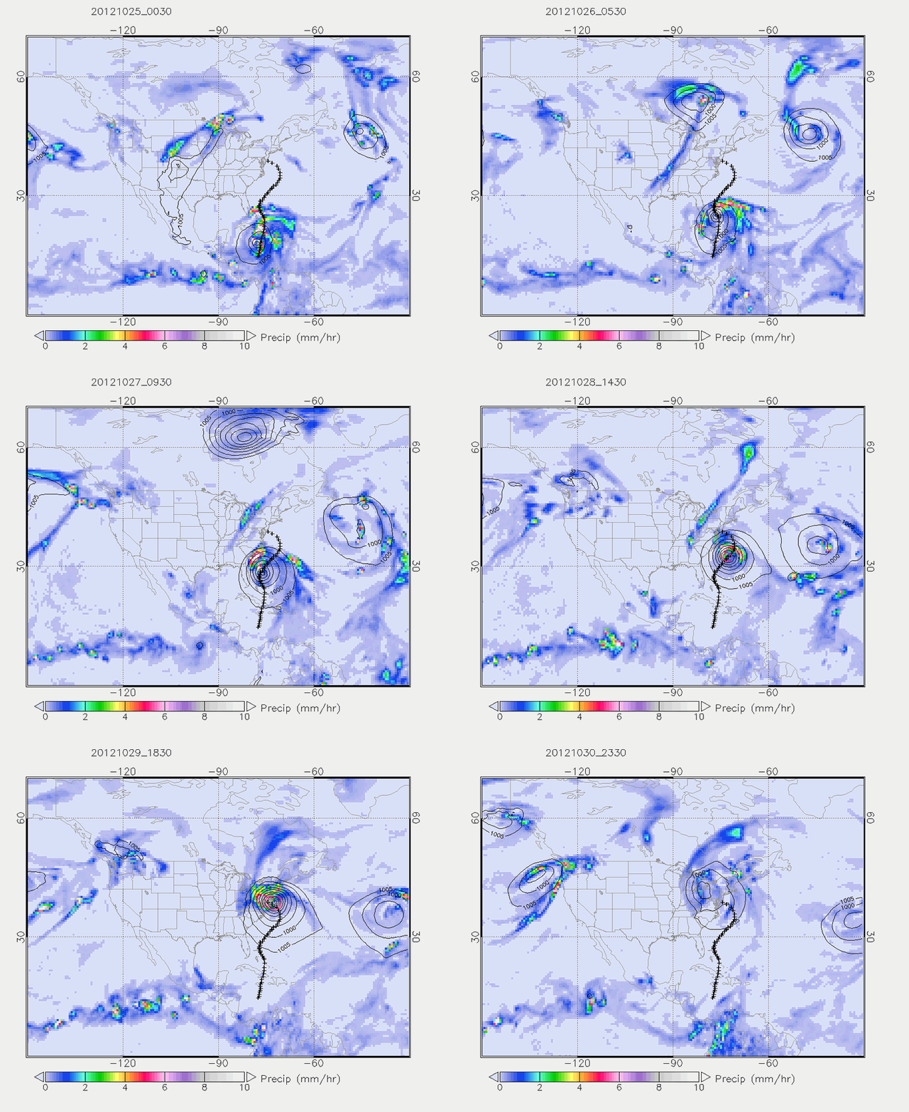
Fig. 5 Animation of GEOS-5 forecast of Sandy
The contour lines are surface level pressure (SLP) at 5 hPa decrements, and the shades are precipitation in mm/hr. The animation is at 1-hr strides. The red contour is at 970 hPa and appears on 27 October 2012, signifying the depression becoming of substantial size, on the stronger side of category 1. The “+” symbols indicate the actual hurricane track.
