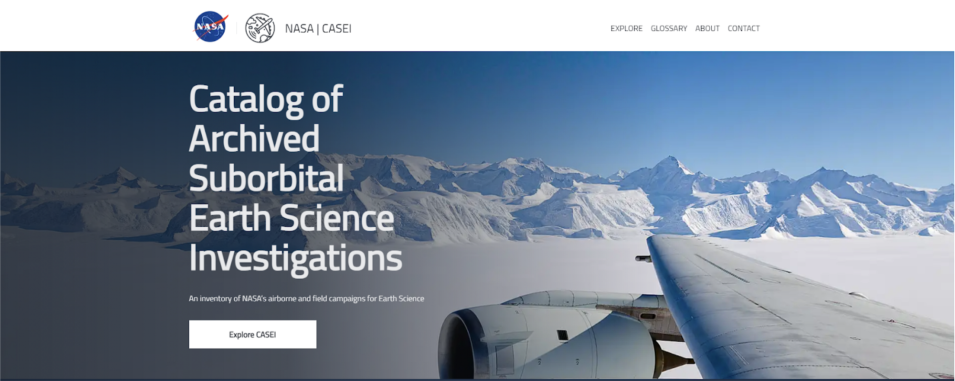
NASA Earth observations include much more than sensors aboard satellites. Airborne and field campaigns are integral components of NASA Earth science investigations and provide valuable data to support Earth science research, validate and ensure the quality of NASA satellite data products, and test new instrument capabilities and applications. A recent two-day workshop coordinated by NASA’s Airborne and Field Data Working Group provided the opportunity for more than 100 airborne and field data users and producers to help NASA plan for future tools and services that will be useful in these investigations.
The workshop aimed to open communication between data users, data producers, NASA’s Distributed Active Archive Centers (DAACs), and NASA management to ensure that challenges and opportunities could be identified and better understood. Along with data users and producers, workshop attendees included DAAC personnel, NASA Headquarters staff, and members of NASA’s Airborne Data Management Group (ADMG) and Earth Science Data and Information System (ESDIS) Project. Participants represented a wide range of scientific fields that use airborne and field data, including atmospheric science, terrestrial ecology, physical oceanography, ocean biology, and cryospheric studies.
Workshop discussions led to several high-level recommendations to improve the usefulness and accessibility of airborne and field data:
- Communication among all stakeholders is a top priority for both data producers and DAACs.
- There is a desire for cross-DAAC consistency in handling data to ease data access and use.
- Improved access to information and resources is vital to ensuring the usefulness of campaign data beyond individual missions or projects.
- Efforts need to be made to lower barriers to data access and use for non-experts.
- Cloud guidance and training are needed for the open science data transition.
The first day of the workshop focused on data user needs and concerns. Data users were given an opportunity to share their experience using NASA airborne and field data and provide feedback about what works well and what could be improved. Speakers included data users from NASA missions with significant airborne components, such as NASA’s Arctic-Boreal Vulnerability Experiment (ABoVE) and Delta-X. Dr. Kenton Ross from NASA’s DEVELOP Program explained how DEVELOP incorporates airborne data in their projects to detect invasive species, monitor ecosystem health, identify permafrost subsidence, and locate methane emissions. Data users relying on atmospheric chemistry and composition measurements from missions such as NASA’s Alpha Jet Atmospheric Experiment (AJAX) and NASA's Atmospheric Carbon and Transport-America (ACT-America) also provided feedback.
The first day wrapped up with an overview of NASA’s existing and planned tools and services for airborne and related field data. Discussions focused on NASA’s use of commercial cloud tools to enhance access to NASA Earth science data, including creating capabilities for users to have direct access to data, improving the efficiency of data system operations, and enabling tools that work across the DAACs. Participants provided suggestions for new tools and services, such as tools for gridding data and visualizing flight tracks along with notebooks to help with downloading and displaying data from multiple campaigns.
The second day of the workshop focused on the needs of airborne and field data producers. Five NASA-funded scientists involved in airborne and field campaigns gave flash talks about their experiences and highlighted the need for good communication between NASA science team members and the DAACs as a top priority. DAAC representatives then discussed how DAACs can work better with data producers to improve communication, simplify the data publication process, and enhance user experiences.
Feedback from the workshop will be consolidated into a white paper and recommendations report that will be used by the Airborne and Field Data Working Group to guide future planning for airborne data at ESDIS and the DAACs. In addition, more detailed summaries will be shared with the community via presentations at the Earth Science Information Partners summer meeting in July 2022 and the American Geophysical Union Fall Meeting in December 2022.

