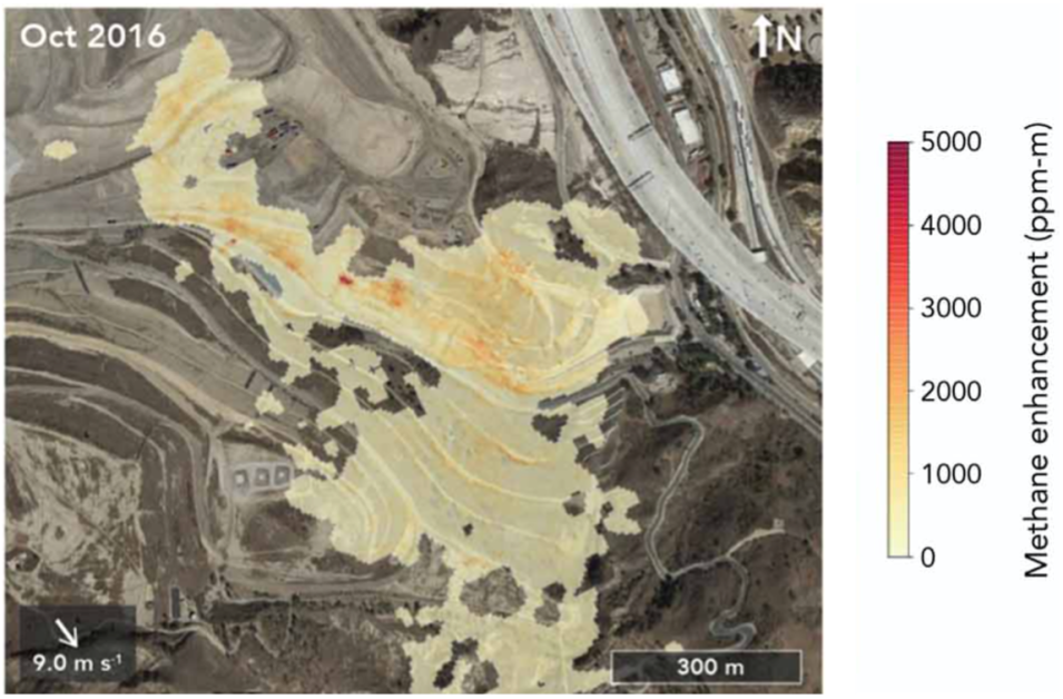
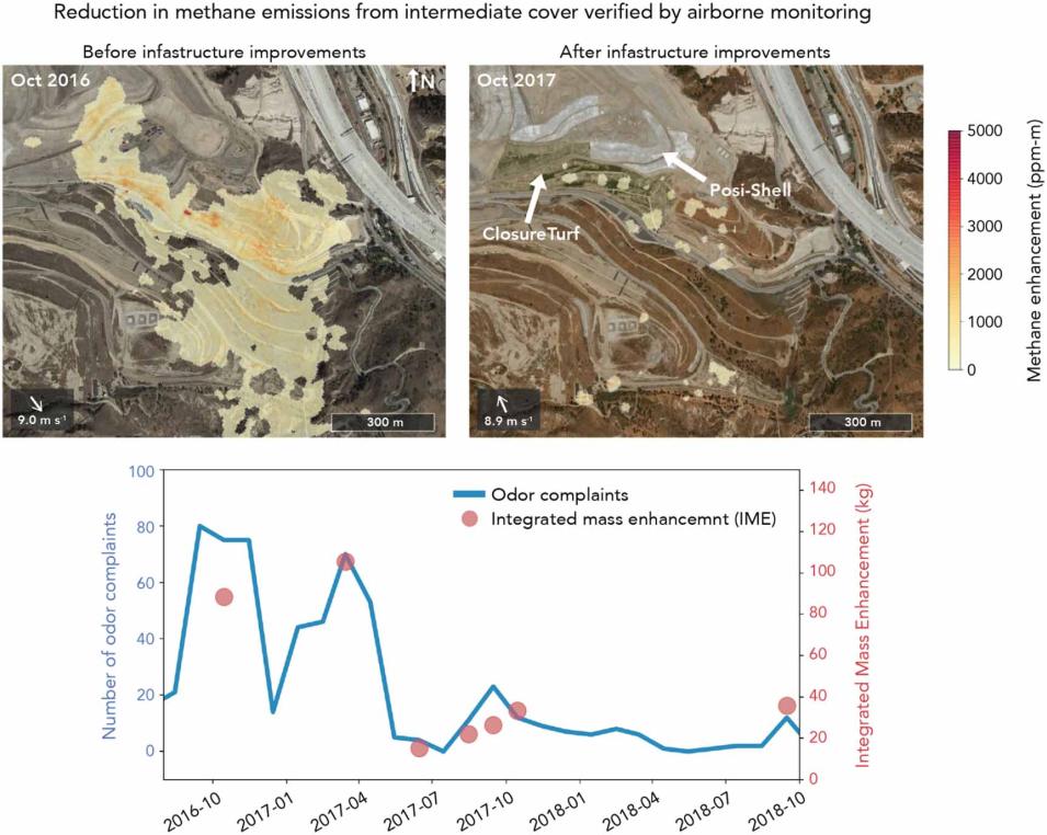
In October 2016, an aircraft equipped with NASA's Airborne Visible Infrared Imaging Spectrometer - Next-Generation (AVIRIS-NG) instrument detected multiple massive methane plumes coming from the Sunshine Canyon Landfill near Santa Clarita, California. The plumes were large enough that researchers conducting the flight out of NASA’s Jet Propulsion Laboratory in Pasadena, California, notified facility operators and local enforcement agencies about it.
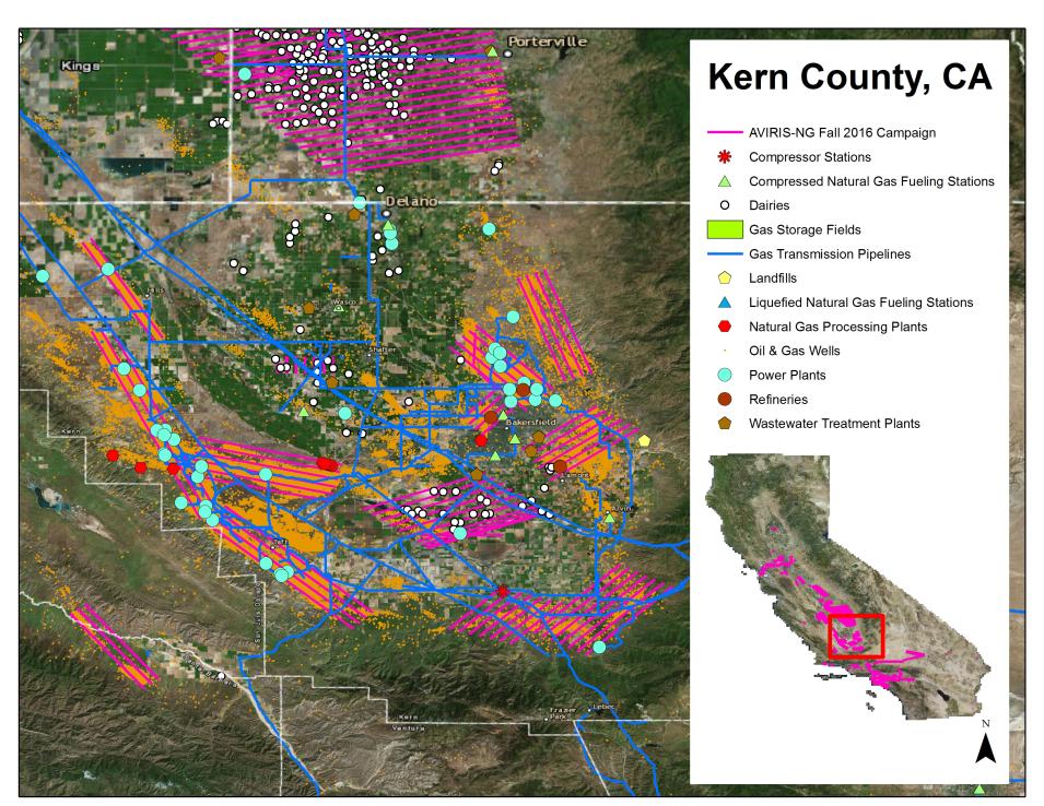
This flight was part of the California Methane Survey, an ongoing project to map sources of methane emissions around the state. These measurements were taken to improve greenhouse gas accounting in California and to pinpoint major mitigation opportunities. New technologies developed by researchers funded by NASA’s Advancing Collaborative Connections for Earth System Science (ACCESS) Program allowed results from the survey to be provided to decision makers within weeks of the flights.
Methane is a short-lived but powerful greenhouse gas (GHG) that has been responsible for about 20% of anthropogenic warming since the industrial revolution. The state of California aims to reduce methane emissions by 40% from 2013 levels by 2030. But in order to reduce emissions of this pernicious greenhouse gas, the state needed to get a better handle on the sources of these emissions.
Methane Source Finder
The California Air Resources Board, or CARB, is the state agency that oversees air pollution control efforts in California. The agency estimates greenhouse gas emissions by tallying up all the emitting activities around the state. But this inventory approach can miss leaks or other fugitive emissions, so CARB became interested in measuring emissions from the air.
Before any flights were planned for the methane survey, Dr. Francesca Hopkins, assistant professor of climate change and sustainability at the University of California, Riverside, undertook a major research effort to map all potential sources of methane around the state. In 2015, Hopkins teamed up with Riley Duren, a research scientist at JPL (now at the University of Arizona) and they were awarded ACCESS funding to map all infrastructure in California capable of emitting methane and develop new technologies to streamline the processing of methane observations from the AVIRIS-NG instrument.


