Reuse, recycle
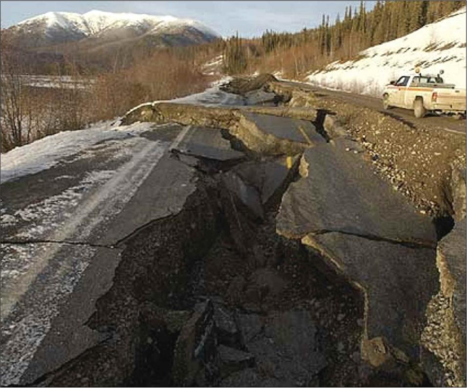
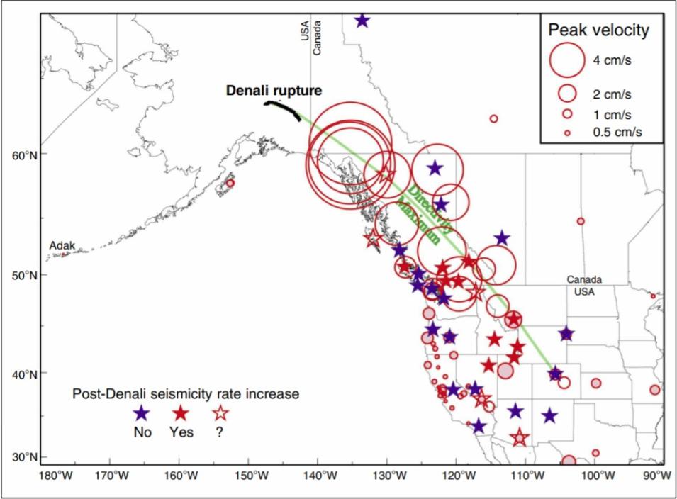
High-rate GPS opened new avenues for studying earthquakes and volcanoes. From the Denali study, Gomberg said, “We learned the power of this focusing effect. We knew that the waves were phenomenally big due to the way the fault broke, but without GPS, we would never have known how big.” Gomberg thinks these data could lead to greater insights about the processes that cause earthquakes. She said, “Since seismic waves can travel so far, it raises the possibility that you can connect all earthquakes together.”
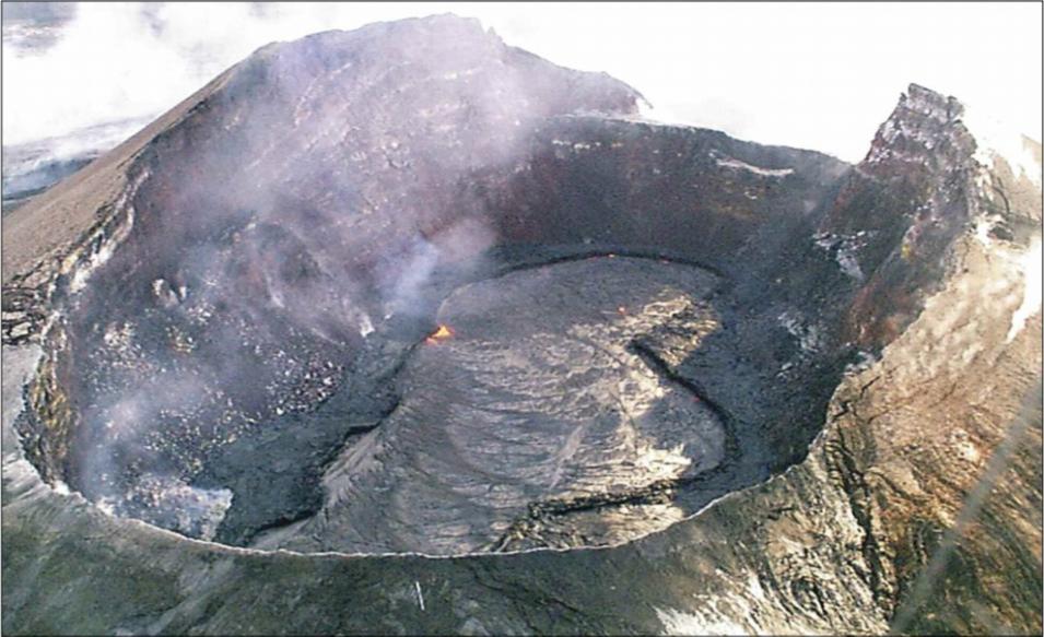
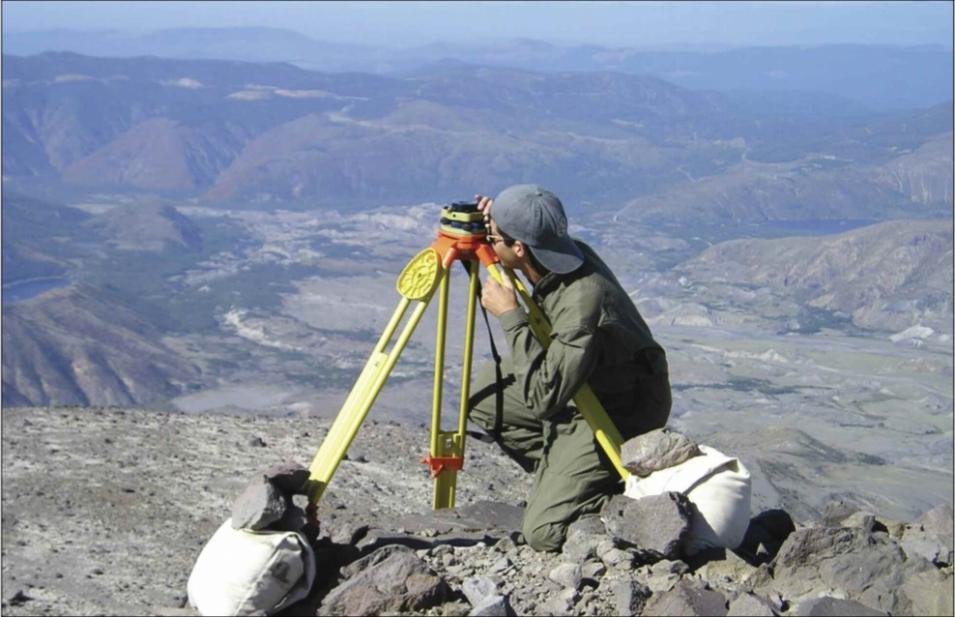
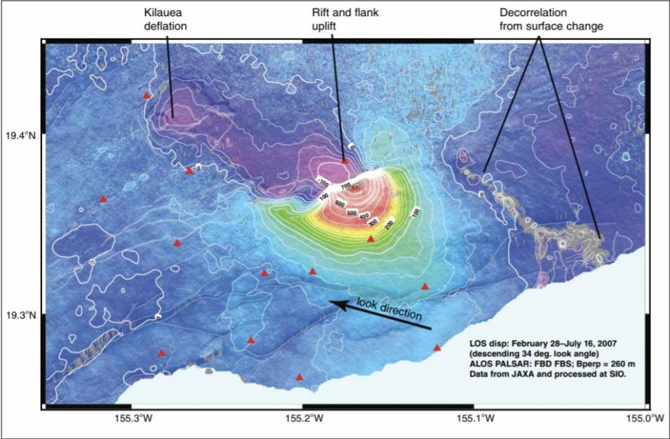
More recently, high-rate GPS confirmed its place in the volcano study toolbox. Back in Hawaii, when Kilauea’s Pu`u `Ō`ō again stirred in June 2007, researchers quickly deployed temporary GPS arrays, and called on Larson for high-rate GPS data. With an unprecedented combination of satellite and ground data, they saw a frame-by-frame story of a three-phase dike intrusion, accompanied by a slow earthquake that continued over two days, ending in a small eruption. Lisowski said, “GPS has become the major tool for tracking slow deformation, down to minutes. We can now build models that account for the movement of magma and the growth of a dike. These are exciting times, when we can make advances in the understanding of volcanic processes.”
Larson likes that GPS is a widespread technology, keeping costs as low as a few thousand dollars per installation. Larson said, “I know a scientist who uses gravity data. His joke is, ‘If only someone could tell where their car was by putting one of my $350,000 gravity meters on the hood. Then maybe someone else would buy them.’” The economy of scale of GPS, and the ability to reuse data collected for other research, help Larson keep moving on to try it on other elusive geophysical measurements.
References
Gomberg, J., P. Bodin, K. Larson, and H. Dragert. 2004. Earthquake nucleation by transient deformations caused by the M = 7.9 Denali, Alaska, earthquake. Nature 427: 621–624.
Larson, K., P. Bodin and J. Gomberg. 2003. Using 1-Hz GPS data to measure deformations caused by the Denali fault earthquake. Science 300: 1421–1424.
Larson, K. M., P. Cervelli, M. Lisowski, A. Miklius, P. Segall, and S. Owen. 2001. Volcano monitoring using the Global Positioning System: Filtering strategies. Journal of Geophysical Research 106: 1–12.
Sandwell, D., D. Myer, R. Mellors, M. Shimada, B. Brooks, and J. Foster. 2007. Accuracy and resolution of ALOS Interferometry: Vector deformation maps of the Father's Day intrusion at Kilauea. IEEE Transactions on Geoscience and Remote Sensing , doi:https://ieeexplore.ieee.org/document/4685934.
For more information
NASA Crustal Dynamics Data and Information System (CDDIS)
U.S. Geological Survey. Rupture in South-Central Alaska -The Denali Fault earthquake of 2002
U.S. Geological Survey. Using the Global Positioning System (GPS) to measure volcano deformation
| About the remote sensing data |
| Satellite |
Global Positioning System (GPS) |
| Sensor |
GPS Receivers |
| Data set |
GPS Data Archive |
| Resolution |
1 second |
| Parameters |
Latitude and longitude |
| DAAC |
NASA Crustal Dynamics Data and Information System (CDDIS) |
