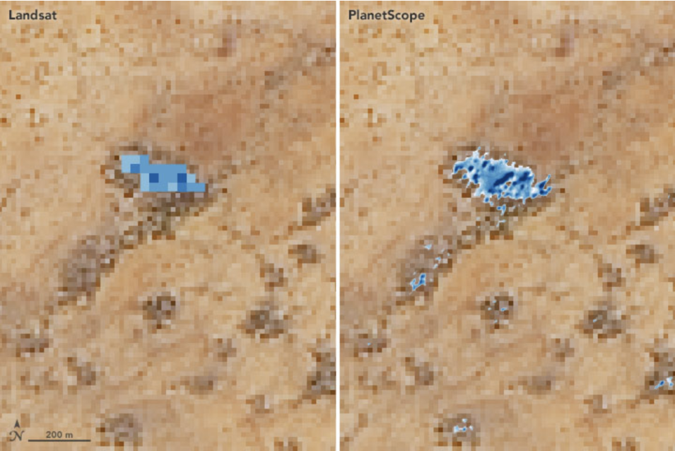
NASA scientists are using commercial small satellite data to improve Earth science research in many disciplines. In one such example, researchers used small satellite data to improve the detection and prediction of landslides in high mountain Nepal. In another, these data were used to assess the water quality of major lakes in the United States. For both of these projects, the temporal frequency and spatial resolution of small satellite data improved the accuracy of the research and complemented data from NASA’s Earth observing satellites.
NASA's Commercial SmallSat Data Acquisition (CSDA) Program was established to identify, evaluate, and acquire data and imagery from commercial sources that support NASA's Earth science research and application goals.
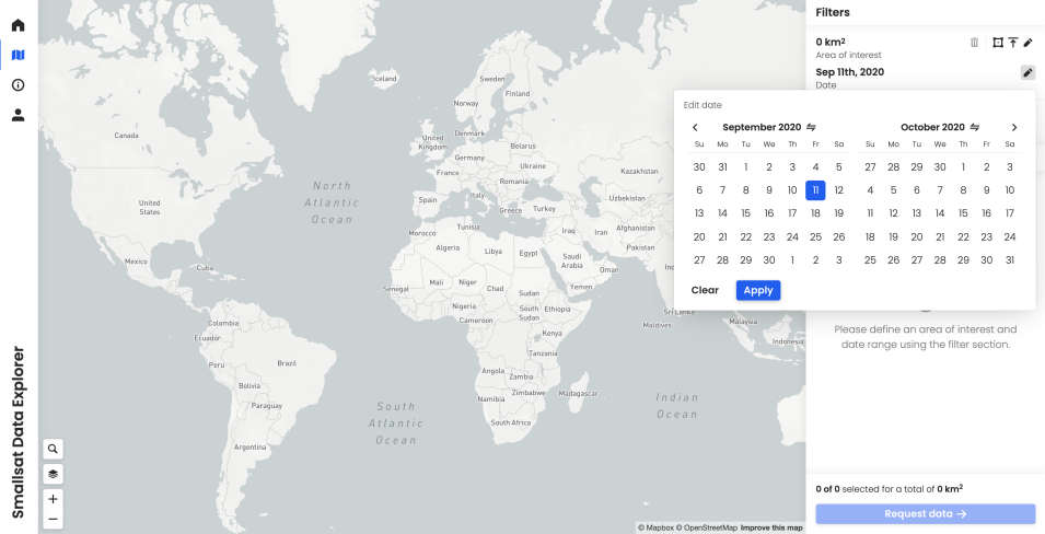
To help researchers find and download commercial small satellite data, the CSDA data management team at NASA’s Marshall Space Flight Center in Huntsville, Alabama, has developed the SmallSat Data Explorer (SDX).

