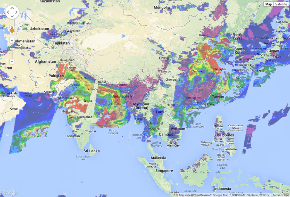
The GIBS team is pleased to announce the availability of imagery in the Web Mercator / Google Maps / EPSG:3857 / EPSG:900913 map projection in addition to the already-supported Geographic (EPSG:4326), Arctic Polar Stereographic (EPSG:3413), and Antarctic Polar Stereographic (EPSG:3031) projections. This now enables integration of GIBS imagery with widely-used maps such as Google Maps, Bing Maps, and OpenStreetMap up to zoom level 9.
We've updated our API documentation, GIBS Web Examples on GitHub, and live demos such as Leaflet, Google Maps, and Bing Maps. We look forward to seeing what you build!
Please note that currently the "leading edge" of new Web Mercator imagery is available 2-4 hours after the Geographic imagery is produced for a total latency of 5-9 hours from the time the satellites capture the imagery until it is available in GIBS. Please also note that zoom level 0 (the top tile) is not currently supported.
Questions or comments? Write us at Earthdata Support.
