With most sources of satellite remote sensing data, spatial resolution and temporal resolution are inversely related. In other words, as spatial resolution increases, temporal resolution decreases and vice versa. For example, the VIIRS sensor onboard S-NPP and NOAA-20 has a swath width of 3,000 kilometers and each instrument images the entire surface of the Earth at least once daily. T
he swath width of MODIS onboard Terra and Aqua is narrower at 2,330 km providing slightly less than daily global coverage. However, the finest spatial resolution of active fire detection data that can be gleaned from VIIRS and MODIS at 375 meters and 1 kilometer, respectively, are considered coarse resolution data by most definitions.
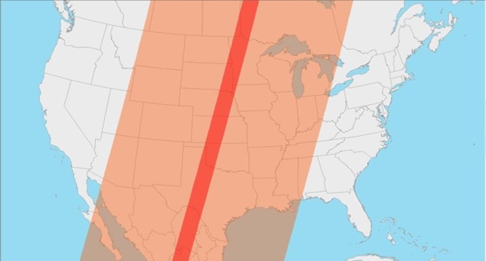
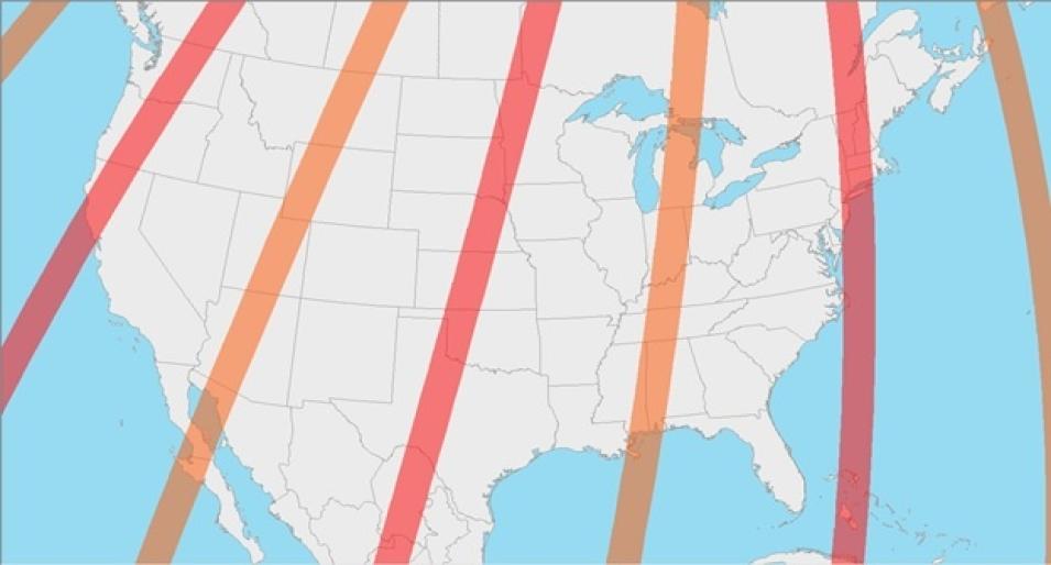
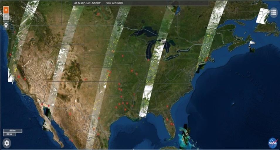
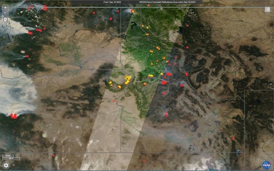
In comparison to VIIRS and MODIS, the Operational Land Imager (OLI) onboard both Landsat 8 and Landsat 9 provides active fire detections at relatively finer spatial resolution (30 meters) (please see the related NASA FIRMS blog entry that introduces the Landsat active fire product). Unlike VIIRS and MODIS, OLI has a much narrower swath width of 185 kilometers. The swath of OLI is less than 1/10th the width of a MODIS swath and provides much lower temporal resolution/sampling by comparison (Fig 1).


