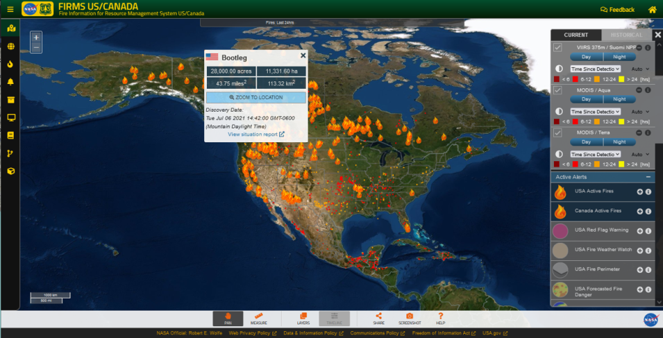
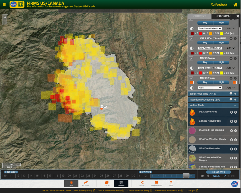
The new FIRMS US/Canada fire map includes the location and details of wildland and prescribed fires.
Get Information and Zoom to Extent of Wildland Fires
Locations of currently/recently active incidents larger than 100 acres (40.5 hectares) are displayed as fire icons when you open the US & Canada Fire Map. Click USA Active Fires and Canada Active Fires layers to toggle them off.
Click on a fire location to view the name, discovery date/time and current size of the fire. This information is routinely updated and maintained in systems of record managed by US and Canadian wildland fire management agencies.
Clicking the View Situation Report link spawns a national situation report which may contain specific reporting information about the fire of interest. Additionally, by clicking the ZOOM TO LOCATION button, your map extent will automatically zoom to the extent of that fire.

