Delivery of Suomi National Polar-orbiting Partnership (Suomi NPP) satellite data products will cease on November 1, 2026. Data users should transition now to alternative products from NOAA-21 and NOAA-20.
Suomi NPP data announcement
Webinars
Our online webinars, trainings, and workshops feature experts in various disciplines who share their knowledge in a particular subject area, from data in the cloud to specific data tools.
Featured Webinars
Presenters will explain the difference between downloading and streaming data, then work through an example.
Aug. 26, 2026,2:30-3:15 p.m. EDT(1830-1915 UTC)
Learn about NASA’s Plankton, Aerosol, Cloud, ocean Ecosystem (PACE) mission, its data products and capabilities for terrestrial remote sensing, and how to explore the data through AppEEARS.
Sept. 23, 2026,1:00-2:00 p.m. EDT(1700-1800 UTC)
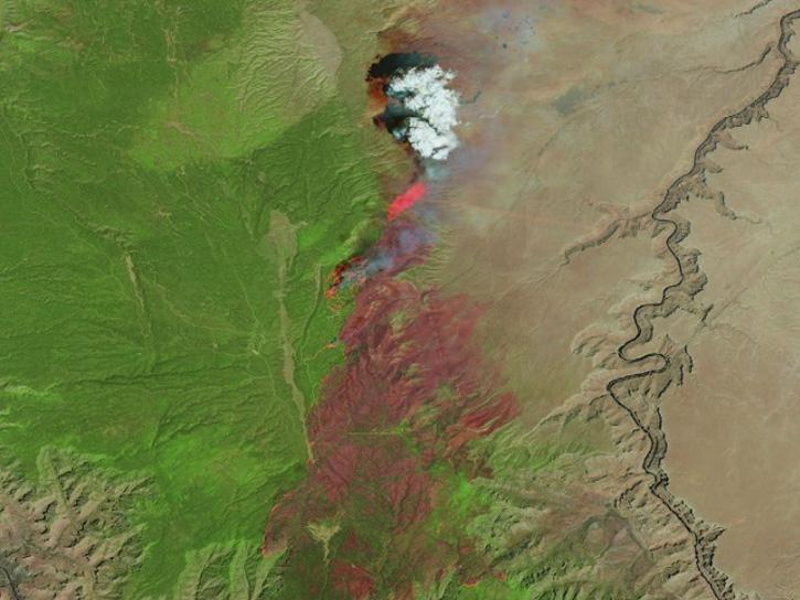
Learn how the Fire Information for Resource Management System (FIRMS) uses timely composite imagery to identify fire fronts, burned areas, and smoke.
July 16, 2026,2:00-3:30 p.m. EDT(1800-1930 UTC)
Filters
View Part 2 of a workshop presented by LP DAAC to the University of California.
May 20, 2022,11:00 a.m. - 1:00 p.m. EDT(1500-1700 UTC)
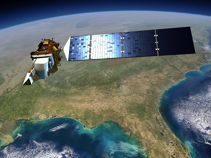
Join us for an introduction to HLS data, services, and tools.
May 19, 2022,2:00-3:30 p.m. EDT(1800-1930 UTC)
Join us to explore cloud-based data discovery, access, visualization, and analysis services at NASA's Global Hydrometeorology Resource Center Distributed Active Archive Center.
May 4, 2022,2:00-3:00 p.m. EDT(1800-1900 UTC)

Join us to learn how to search and order datasets from NASA's Level-1 and Atmosphere Archive and Distribution System Distributed Active Archive Center (LAADS DAAC). Subsetting, reprojection, and data output post-processing operations in the Find Data tool will also be featured.
April 27, 2022,2:00-3:00 p.m. EDT(1800-1900 UTC)
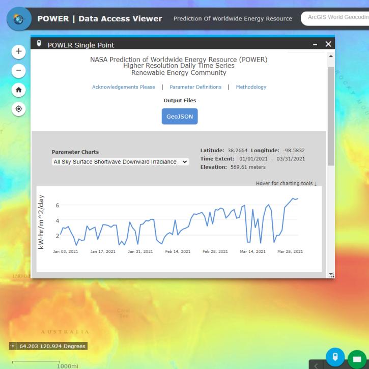
Join us for an introduction to NASA's POWER Project, its datasets and web services. In this webinar, we will highlight partnerships that facilitate the use of Earth observation data, and provide case studies of how POWER data are used within the renewable energy, agroclimatology and energy sustainability communities.
March 23, 2022,2:00-3:00 p.m. EDT(1800-1900 UTC)
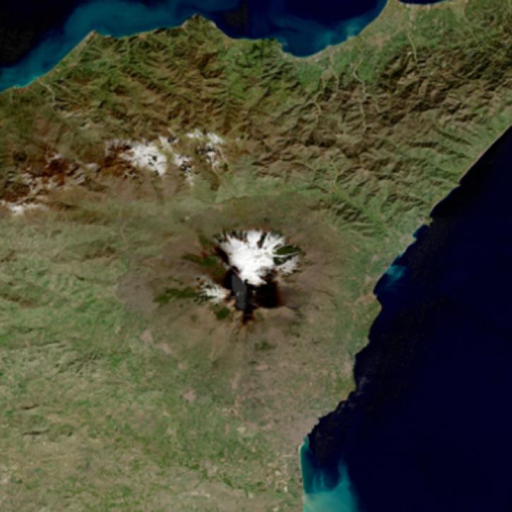
Learn about the technical details of the Harmonized Landsat Sentinel-2 (HLS) effort from NASA and ESA (European Space Agency) presenters along with data product status and availability.
March 1, 2022,10:00 a.m. - 12:00 p.m. EST(1500-1700 UTC)
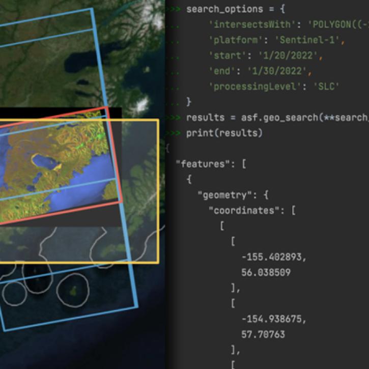
Join us for an introductory webinar to learn how to use asf_search, a new Python library for search and discovery of SAR data, created by NASA's Alaska Satellite Facility Distributed Active Archive Center (ASF DAAC).
Feb. 28, 2022,2:00-3:00 p.m. EST(1900-2000 UTC)
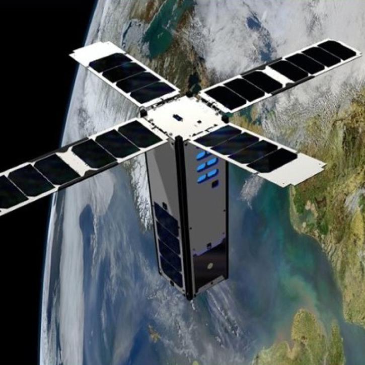
This webinar will provide an introduction to the SeaHawk/HawkEye CubeSat ocean color mission, show you how to discover, access, and work with SeaHawk data, and walk participants through the process of requesting image scheduling for regions of interest.
Jan. 26, 2022,2:00-3:00 p.m. EST(1900-2000 UTC)
SHOWING 8 OF 207