Human Dimensions

The human dimensions discipline includes ways humans interact with the environment and how these interactions impact Earth’s systems. It also explores the vulnerability of human communities to natural disasters and hazards.


Human Dimensions RSS Feed
Human Dimensions

Human activities, such as the conversion of natural land to built-up areas, the cultivation of agricultural land, and the extent and type of agricultural production, movement and consumption of natural resources, can be tracked by sensors aboard Earth observing satellites. The combination of remotely sensed data with data collected by national and sub-national government agencies (such as census, disease, species diversity, and similar data) enables investigations into the impact of human activities on Earth. Additionally, these data are a vital resource for managing disaster response, such as using nighttime lights data to monitor power outages following storms or thermal anomaly data to track the movement of wildfires near populated areas.


Definition source: Colorado State University
You Might Also Be Interested In

Filter By

Content type
This Synthetic Aperture Radar (SAR) interferogram includes the epicenters of the October 23, 2002, and November 3, 2002 Denali Fault earthquakes, which are located at the extreme western end of the fault rupture.
Article
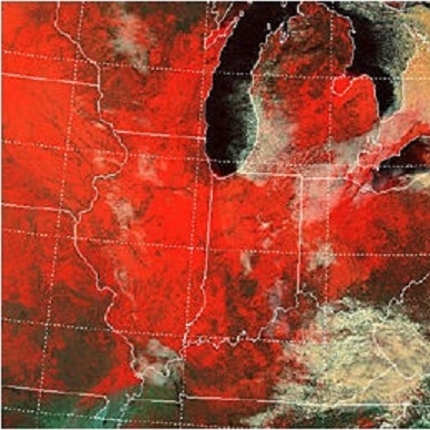
The false-color image above is a MODIS image, captured on January 2, 2001, shows the extent of snow cover over the north-central United States.
Article
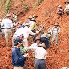
Tai Lue farmers construct a traditional diversion dam in Sipsongpanna, Yunnan Province, Muang Long. (Images courtesy of John Hartmann).
Article
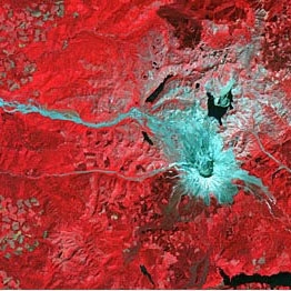
ASTER acquired this image of Mount St. Helens on August 8, 2000.
Article
Rodents that carry the Sin Nombre virus can be deceptively cute, but suspected carriers must be handled with extreme care. (Image courtesy of Gregory Glass, Johns Hopkins Bloomberg School of Public Health).
Article
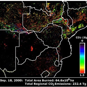
MODIS imagery in use as the basis for calculating fire emissions of carbon dioxide.
Article
Photograph of cracks in the Larsen B Ice Shelf south of the Seal Nunataks on Mary 13, 2002
Article
Glaciologists used MAMM radar data to clock the movement of glaciers feeding the enormous Ross Ice Shelf.
Article