“We’re getting a more complete picture now,” Jones said. “We can start to say when trees start taking up water, before they even produce chlorophyll. Then we can measure greenness and biomass through the growing season. And then at the end of the season we can also measure when biomass actually falls to the ground.” In 2011, Jones, Kimball, and their colleagues at Flathead Lake published a new study from the AMSR-E data, which they obtained from NASA's National Snow and Ice Data Center Distributed Active Archive Center (NSIDC DAAC).
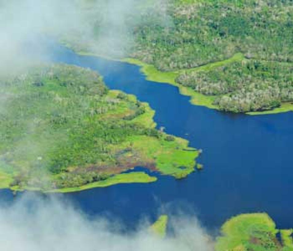
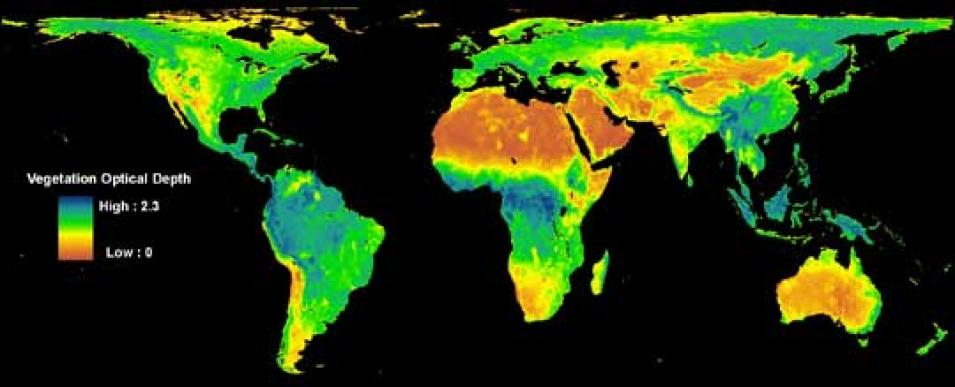
The new study and database includes a map of global vegetation data derived from AMSR-E data, and is already helping to fill in knowledge gaps about the Earth’s carbon cycle. In the Amazon, for instance, researchers had thought that the rainforest grew relatively constantly with few changes between seasons, absorbing the same amount of carbon year-round. The AMSR-E data gave the team a surprise. “Until recently we’ve been trying to determine whether there’s even a coherent phenology signal,” Kimball said, “Now we are seeing a seasonal phenology signal of green-up and peak biomass.” Although preliminary, the results suggest that the giant carbon sink in the Brazilian tropics might perk up during the dry season, grow vigorously when the sun comes out, and slow down in the wet season when clouds limit sunlight.
Kimball and Jones hope that their new vegetation data will help climate scientists better understand how much carbon the world’s forests sequester from the atmosphere. And that information is critical for predicting future changes in climate. Jones said, “I wouldn’t say it’s going to completely change our carbon cycle models, but it is going to fine-tune them and get a better level of accuracy.
References
Jones, M. O., L. A. Jones, J. S. Kimball, and K. C. McDonald. 2011. Satellite passive microwave remote sensing for monitoring global land surface phenology. Remote Sensing of the Environment 115:1,102-1,114, doi:10.1016/j.rse.2010.12.015.
Kim, Y., J. S. Kimball, K. C. McDonald, and J. Glassy. 2011. Developing a global data record of daily landscape freeze/thaw status using satellite passive microwave remote sensing. IEEE Transactions on Geoscience and Remote Sensing 49(3), doi:10.1109/TGRS.2010.2070515.
For more information
NASA Land Processes Distributed Active Archive Center (LP DAAC)
NASA National Snow and Ice Data Center DAAC (NSIDC DAAC)
Advanced Microwave Scanning Radiometer-Earth Observing System (AMSR-E)
Moderate Resolution Imaging Spectroradiometer (MODIS)
(Photograph of maple leaves in title graphic courtesy of Joe DSilva/flickr)


