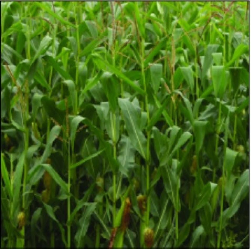
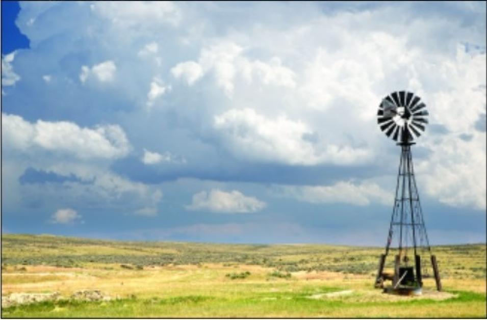
In southwestern Nebraska, a boom fueled by groundwater is going bust. In the 1970s, new irrigation technology made it possible to grow corn, which is much more lucrative than dryland wheat, in this sandy region. Farmers moved in, drilled wells, and planted new cornfields. But by the late 1970s, groundwater levels had already begun to fall. Thirty years later, towns shrivel as farms decline and families leave for greener pastures.
“Around the world, the availability of groundwater has actually affected the economic success or failure of a region,” said Sean Swenson, a researcher in the Advanced Study Program at the National Center for Atmospheric Research (NCAR). “According to the United States Geologic Survey (USGS), 50 percent of people’s fresh water comes from the groundwater found in wells. In rural areas, that rises to 90 percent.” Whether for personal or commercial use, humans heavily depend upon the availability of groundwater.
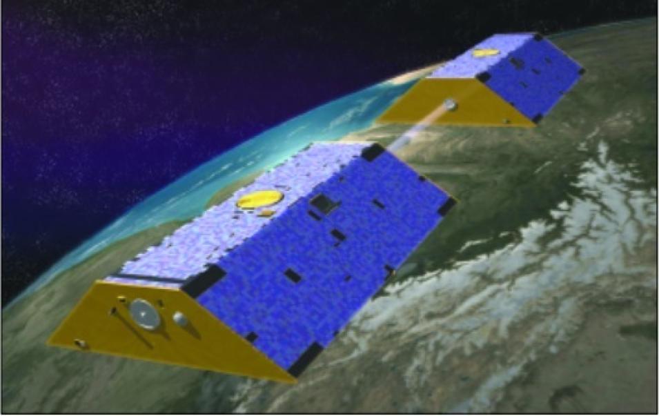
With so much depending upon fresh water, local and national officials have long recognized the need for measuring groundwater resources; in some areas, they have established a systematic groundwater observation program. Yet groundwater resources sprawl across huge sections of land, crossing community and political boundaries and making it hard to understand how much water actually flows under any given tract of land. To better understand this essential resource, researchers have developed an innovative model to assess the amount of groundwater available over large areas. This model uses data from instruments on a new pair of satellites that measures changes in the Earth’s gravity.


