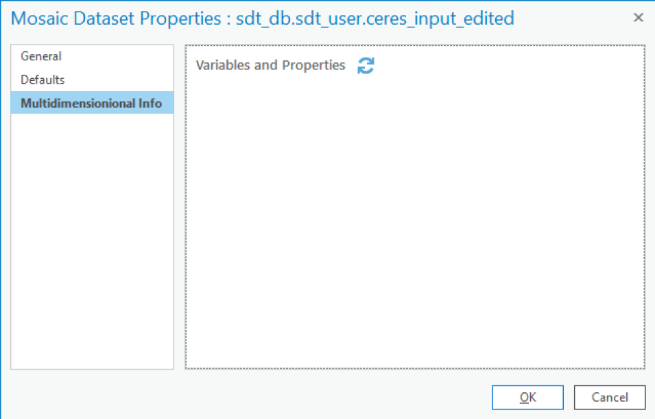
Mosaic dataset is not always a multi-dimensional dataset. For example, if you see nothing for Multidimensional Info as the following figure shows, your mosaic dataset is not multi-dimensional:
We are in the process of migrating all NASA Earth science data sites into Earthdata from now until end of 2026. Not all NASA Earth science data and resources will appear here until then. Thank you for your patience as we make this transition.
Read about the Web Unification Project

