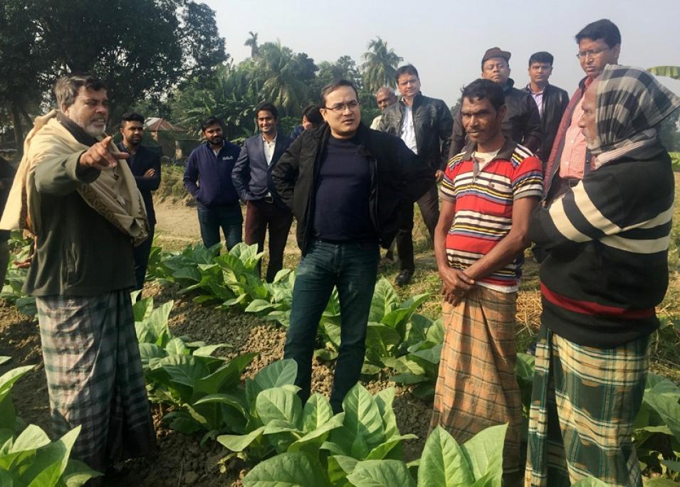
Dr. Faisal Hossain; Professor, Department of Civil and Environmental Engineering, University of Washington, Seattle, WA
Research interests: Using remotely-sensed data to address challenges of limited water, food, and energy resources in South and Southeast Asia with the overall goal of accelerating economic development in these regions.
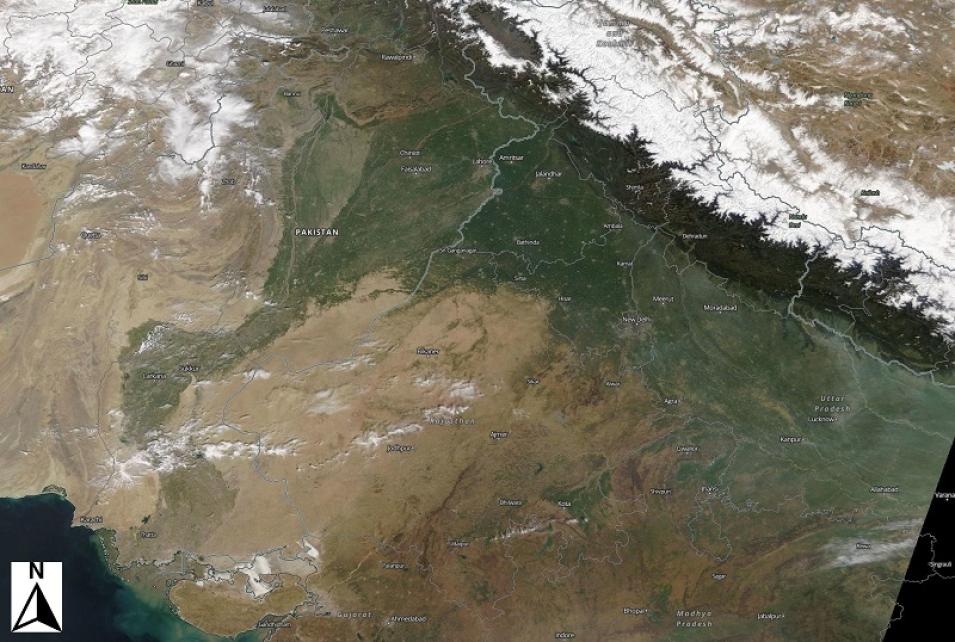
Research highlights: The Indus River begins its journey to the sea on a glacier near a sacred Tibetan mountain that is not to be climbed. The trickle of melting snow and glacial ice broadens and picks up speed as it flows northwestward through Tibet and into India, where it forms the westernmost river system in the Indian Subcontinent. The river turns south, and its path through Pakistan can easily be traced as a dark, greenish strip running the length of the country until it finally transitions into a broad delta where it empties into the Arabian Sea.
The Indus River basin spans more than one million square kilometers, and crosses the borders of China, India, Afghanistan, and Pakistan. For Dr. Faisal Hossain, the importance of the Indus River is not just the four countries it touches, but the approximately 300 million lives it touches. Having been born and spent part of his childhood in Southeast Asia, another vast region heavily dependent on water resources, Hossain experienced firsthand how a lack of information about water resources and a lack of access to Earth science data can make a country less resilient to natural or human-created vulnerabilities.
Now, as a professor of civil and environmental engineering at the University of Washington, he uses remotely-sensed Earth observing data as an integral resource in his work helping developing nations in South and Southeast Asia address challenges of limited water, food, and energy against a backdrop of accelerated economic development. Hossain uses satellite data from numerous NASA and international missions in his work. Data from many of these missions are available through NASA’s Earth Observing System Data and Information System (EOSDIS), particularly NASA’s Physical Oceanography Distributed Active Archive Center (PO.DAAC), which archives and distributes NASA EOSDIS hydrologic data along with physical oceanographic data.
Hossain’s projects are undertaken primarily through his Sustainability, Satellites, Water, and Environment Research Group, which is located at the University of Washington. These projects are designed to foster better, more efficient use of water resources that can help improve the livelihoods of people dependent on freshwater systems across Asia. For work across such a broad swath of Earth, the spatial range of satellite data are an invaluable resource.


