Description
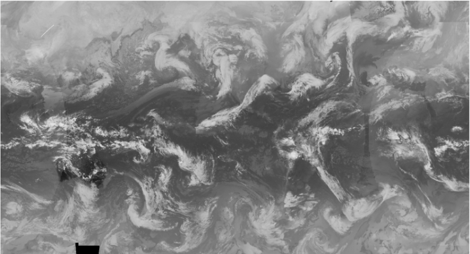
The Aviation Weather Center (AWC) Infrared Global Geostationary Composite dataset contains global infrared composites retrieved from a series of polar and geostationary satellites. These mosaics of global infrared data are made available in AREA McIDAS format. This data recipe provides instructions on how to use a Python script to convert Infrared Global Geostationary Composite McIDAS data into PNG format and display the infrared composite as an image outside of McIDAS software. This data recipe requires a pre-installed version of Python, a downloaded Infrared Global Geostationary Composite data file (AREA), and the Python matplotlib package.


