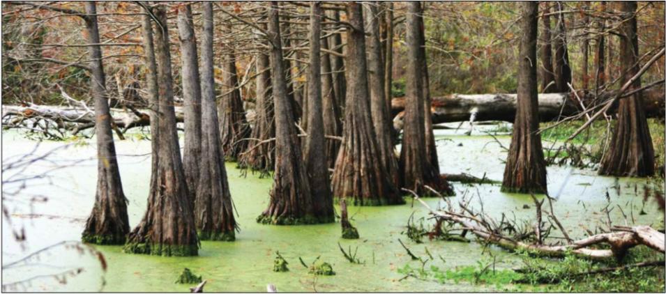
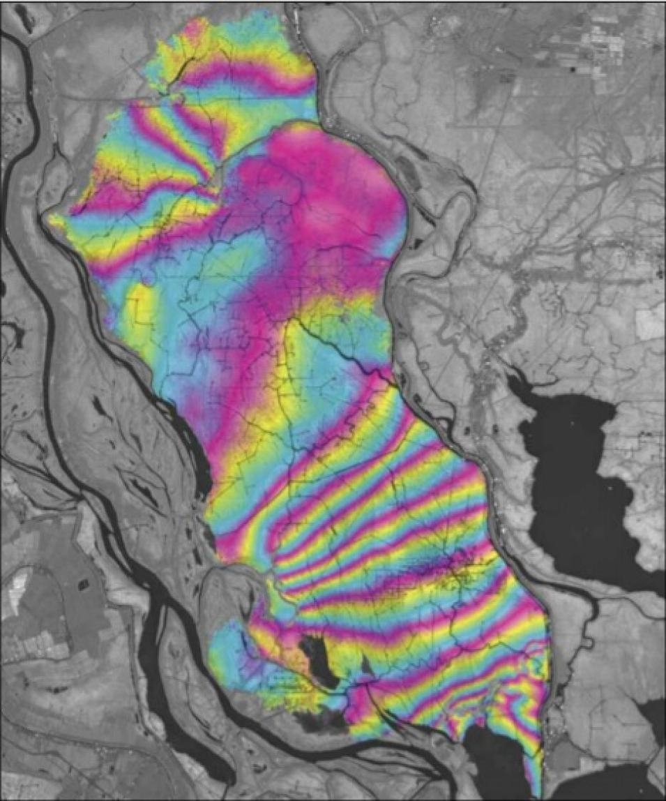
First, Lu needed to find out if C-band radar waves could penetrate the vegetation and if their backscattering behaviors would characterize vegetation in the study area. To do this, Lu and his colleague Oh-Ig Kwoun consulted maps and determined that southeastern Louisiana had six major classes of vegetative cover: bottomland forests, swamp forests, freshwater marshes, intermediate marshes, brackish marshes, and saline marshes. They then compared these classes to data from Synthetic Aperture Radar (SAR) sensors on the RADARSAT-1 satellite, distributed by NASA's Alaska Satellite Facility (ASF) Distributed Active Archive Center (DAAC), and from the European Remote Sensing (ERS) satellites ERS-1 and ERS-2. “The data showed that SAR signals can be used to classify existing vegetation over wetlands,” Lu said. “Multiyear and season-averaged observations would provide more robust results.”
With an idea of how C-band radar behaves over different kinds of wetland vegetation, Lu and Kwoun generated interferograms. They found that a specific C-band wavelength of 5.66 centimeters (2.2 inches) was suitable for producing InSAR images from the moderately dense tree canopies and other vegetation in Southeastern Louisiana. Lu said, “The images had an unprecedented degree of vertical accuracy. InSAR can indeed be used to estimate water-level changes. But there are limitations, so we have more questions to explore.”
Tools for precision
One of these limitations is that the technique requires the presence of vegetation in the water to allow radar pulses to be bounced back to the sensor. So during intense flooding where the water is higher than the vegetation, InSAR is useless. Another limitation is that water-level changes differ from point to point. In an ideal situation, water flows placidly over a symmetrical, smooth surface devoid of obstruction. But southeastern Louisiana’s wetlands have barriers, such as levees. Measurements from gauge stations are still required to calibrate SAR measurements.
Alsdorf, whose work on L-band radar encouraged Lu to pursue his own research questions regarding InSAR and wetlands, said that scientists have a long way to go in finding out how much water exists at any one place at any point in time. Alsdorf said, “In the world of surface water hydrology, we have sparse measurements and knowledge of how much water is on the planet at any one place or time, But the exciting thing about Lu’s work is that in certain cases like the Louisiana swamp forest, C-band will penetrate a particular forest canopy. We are talking about trying to use highly specialized tools—the C-band satellite for one location, the L-band satellite for another location—to piece together how water is flowing through these wetland environments. That is exciting scientific work.”
To preserve and protect
As Lu resolves the limitations of the technique, more scientists are recognizing possibilities for using InSAR in understanding the delta’s hydrology. In Louisiana, Faulkner is compiling in situ measurements from the Atchafalaya Basin to confirm SAR data. A science working group has recognized the importance of remotely sensed data in studying the delta’s changing hydrology. In their report to the Governor, the Coastal Wetland Forest Conservation and Use Science Working Group said, “Adding remotely sensed data . . . should be aggressively pursued. Such data are critical to wisely manage and care for the coastal forest wetland system of Louisiana.”
Lu plans to improve his methods by using other remote sensing data, such as data from the NASA Ice, Cloud, and Elevation Satellite (ICESat), to refine estimates on absolute water changes. He may also use data from a radar altimeter to provide temporal and spatial variations of water-level height. Lu said, “I have been using InSAR for ten years to study volcanoes and earthquakes. But personally, I feel that I learned more when I looked at this question.” Lu is not leaving his field of specialty, but he is hopeful that his discovery will help in the preservation of the delta’s wetlands and in the protection of communities that have chosen to make southeastern Louisiana their home.
References
Alsdorf, D., J. Melack, T. Dunne, L. Mertes, L. Hess, and L. Smith. 2000. Interferometric radar measurements of water level changes on the Amazon floodplain. Nature 404: 174–177.
Faulkner, S. P., J. L. Chambers, W. H. Conner, R. F. Keim, J. W. Day, E. S. Gardiner, M. S. Hughes, S. L. King, K. W. McLeod, C. A. Miller, J. A. Nyman, and G. P. Shaffer. 2007. Conservation and use of coastal wetland forests in Louisiana. In Ecology of Tidal Freshwater Forested Wetlands of the Southeastern United States , eds. W. H. Conner, T. W. Doyle, and K. W. Krause, 447–460. The Netherlands: Springer.
Lu, Z. Interferometric Synthetic Aperture Radar past, present and future. https://www.researchgate.net/publication/242137872_Interferometric_Synthetic_Aperture_Radar_InSAR_Its_Past_Present_and_Future
For more information
NASA Alaska Satellite Facility Distributed Active Archive Center (ASF DAAC)
USGS National Wetlands Research Center
About Zhong Lu
| About the remote sensing data |
| Satellite |
RADARSAT-1 |
| Sensor |
Synthetic Aperture Radar (SAR) |
| Data set |
C band |
| Resolution |
10 to 100 meter |
| Parameter |
Water level |
| DAAC |
NASA Alaska Satellite Facility Distributed Active Archive Center (ASF DAAC) |


