| Search and Data Access |
Earthdata Search |
General search tool for locating NASA Earth science data using filters; filter by organization to locate data at a specific DAAC
|
All public campaign data in NASA's Earth Observing System Data and Information System (EOSDIS) |
| Search and Data Access |
Suborbital Data Portal |
A specialized Earthdata Search portal for airborne and field data product discovery |
Most public campaign data products published at DAACs |
| Discover and Learn, Data Access |
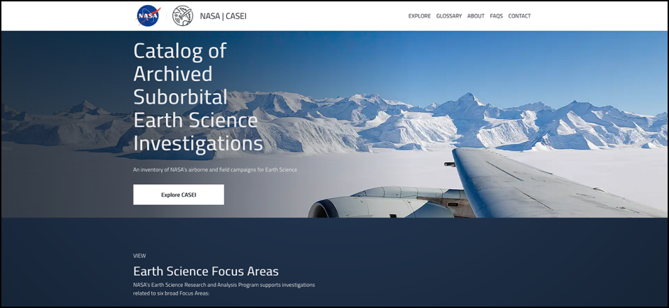
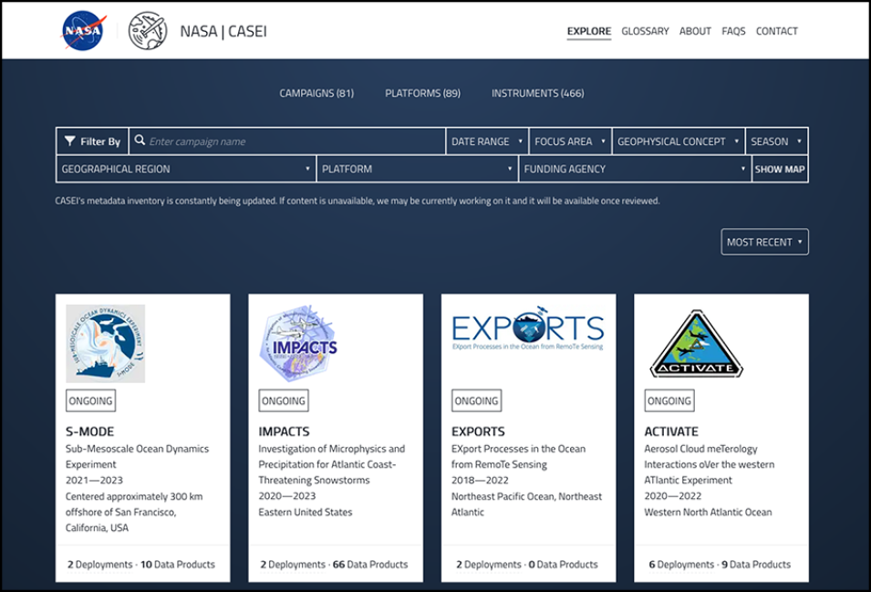
CASEI |
A catalog of NASA airborne and field campaigns/projects;
currently has roughly 45% of known campaigns |
Contextual metadata for 70+ airborne and field campaigns |
| Visualize |
Spatial Data Access Tool (SDAT) |
Visualize and download select data using Open Geospatial Consortium (OGC) standards; available through NASA's Oak Ridge National Laboratory DAAC (ORNL DAAC) |
Arctic Boreal Vulnerability Experiment (ABoVE), Africa Synthetic Aperture Radar (AfriSAR), Carbon in Arctic Reservoirs Vulnerability Experiment (CARVE), Large-Scale Biosphere-Atmosphere Experiment in Amazonia (LBA) |
| Visualize |
Soil Moisture Visualizer |
Subset, view, and download harmonized Soil Moisture data from various projects; available through ORNL DAAC |
Airborne Microwave Observatory of Subcanopy and Subsurface (AirMOSS), Soil moisture Sensing Controller and oPtimal Estimator (SoilSCAPE), Snow Telemetry Network (SNOTEL), Flux Network (FLUXNET) |
| Visualize |
Airborne Data Visualizer (ADV) |
Visualize airborne campaign flight track measurements; available through ORNL DAAC |
Atmospheric Carbon and Transport-America (ACT-America), Atmospheric Tomography Mission (ATom), CARVE |
| Discover and Learn |
Atmospheric Science Data Center (ASDC) Project Catalog and Explore Collections Tool |
Online access providing a means to explore data collections at ASDC and review description of all projects |
All campaign data available through ASDC |
| Search and Data Access |
Sub-Orbital Order Tool (SOOT) Power User Interface |
Search for data files from specific campaigns at ASDC and download the data; only Power User Interface is currently available |
Aerosol Characterization from Polarimeter and Lidar (ACEPOL), Arctic Radiation - IceBridge Sea & Ice Experiment (ARISE), Clouds, Aerosol and Monsoon Processes-Philippines Experiment (CAMP2Ex), Fire Influence on Regional to Global Environments and Air Quality (FIREX-AQ), Long Island Sound Tropospheric Ozone Study (LISTOS), Lake Michigan Ozone Study (LMOS), North Atlantic Aerosols and Marine Ecosystems Study (NAAMES), ObseRvations of Aerosols above CLouds and their intEractionS (ORACLES) |
| Visualize and Analyze |
Field Campaign Explorer (FCX) |
A visualization environment built on Cesium for exploring various field campaigns in multiple dimensions; available through NASA's Global Hydrometeorology Research Center DAAC (GHRC DAAC) |
Geostationary Operational Environmental Satellite-R (GOES-R) Post Launch Test (PLT); (Investigation of Microphysics and Precipitation for Atlantic Coast-Threatening Snowstorms [IMPACTS] will be added next) |
| Search and Data Access |
Vertex |
A geographical and temporal search tool to locate and obtain SAR data; available through NASA's Alaska Satellite Facility DAAC (ASF DAAC) |
Airborne Synthetic Aperture Radar (AirSAR), Uninhabited Aerial Vehicle SAR (UAVSAR) |
| Visualize and Analyze |
OpenSARLab |
Jupyter environment for working with SAR data in the cloud; includes Jupyter Notebooks along with Python and SAR-specific tools; approved users only |
AirSAR, UAVSAR |
| Search and Data Access |
Operation IceBridge Data Portal |
Provides a means to visualize and perform temporal, spatial and keyword filtering of all Operation IceBridge data for data download; available through NASA's National Snow and Ice Data Center (NSIDC DAAC) |
Operation IceBridge |

